WORDS ON LOAN

Dear Readers,

In exactly one week, I will be turning over my manuscript on the history of Bayou St. John to the publisher. You might be able to imagine the brain-fry that’s happening over here in order to make this deadline. The marathon stints of revising and citing and formatting have left me a little….blank. As in, I’m dreaming about the bayou—about writing about the bayou, in particular—but when it comes to crafting a short, interesting piece on some bayou anecdote: I’m coming up a little dry (no pun intended!).

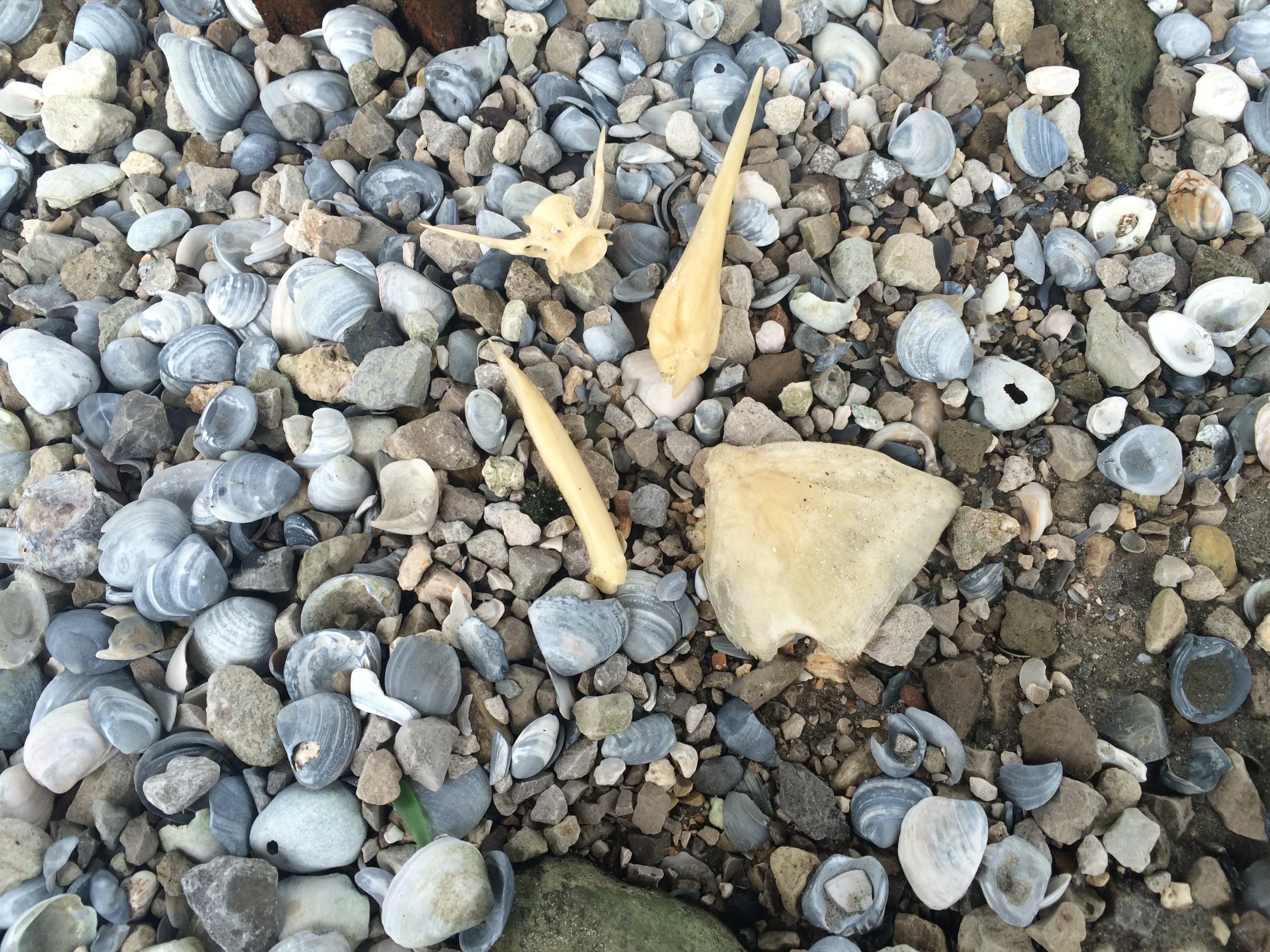
Then I remembered a post I’d started and abandoned a few months ago. It quoted a Times-Picayune article featuring some of the most flowery language I’d ever heard in my life (appropriate to the 1890s). But I had forgotten to cite which article this was, and instead of digging through my copious notes, I decided to run a search by homing in on particular words in the article and searching for it in the database. It wasn’t hard to find unique words: hmmm…how about “bayou st john” and “sluggish,” or “bayou st john” and “flat-chested.” I finally found it, after coming across ads to fix a “sluggish” liver, and ads (beginning in the 1920s) for various breast augmentation solutions.

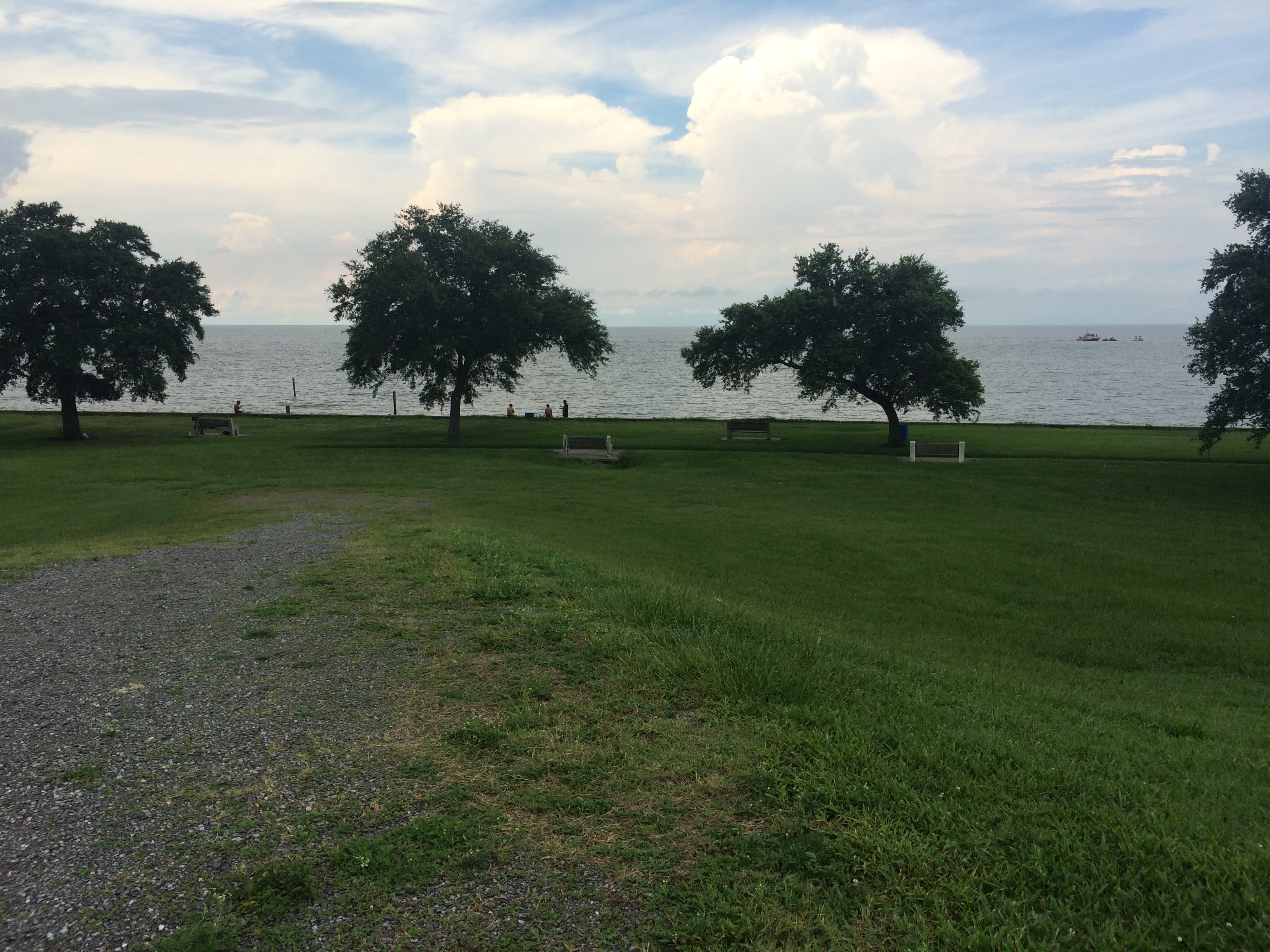
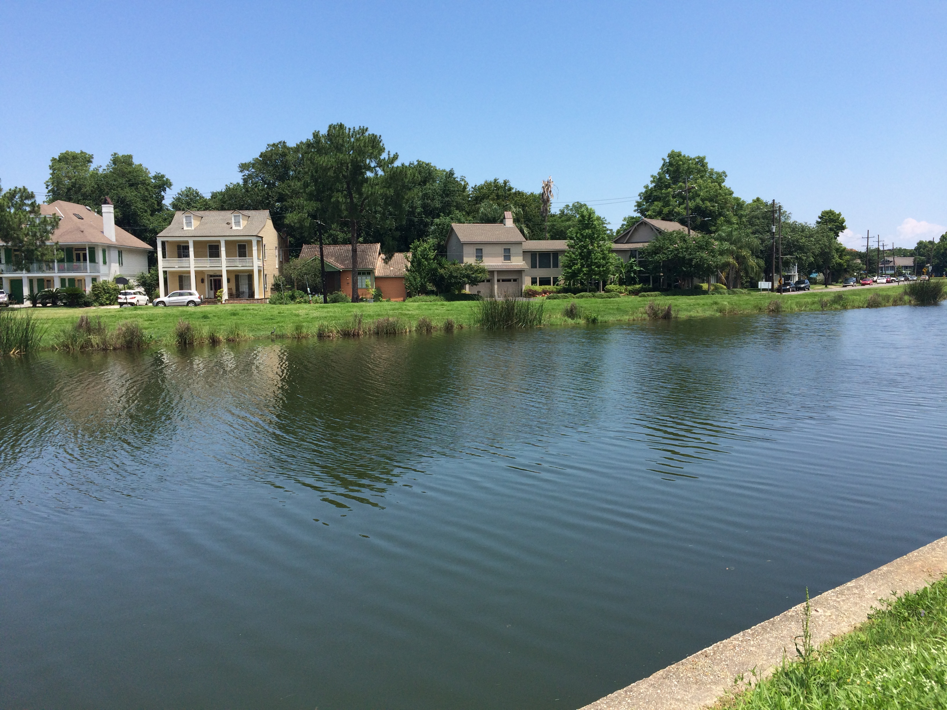
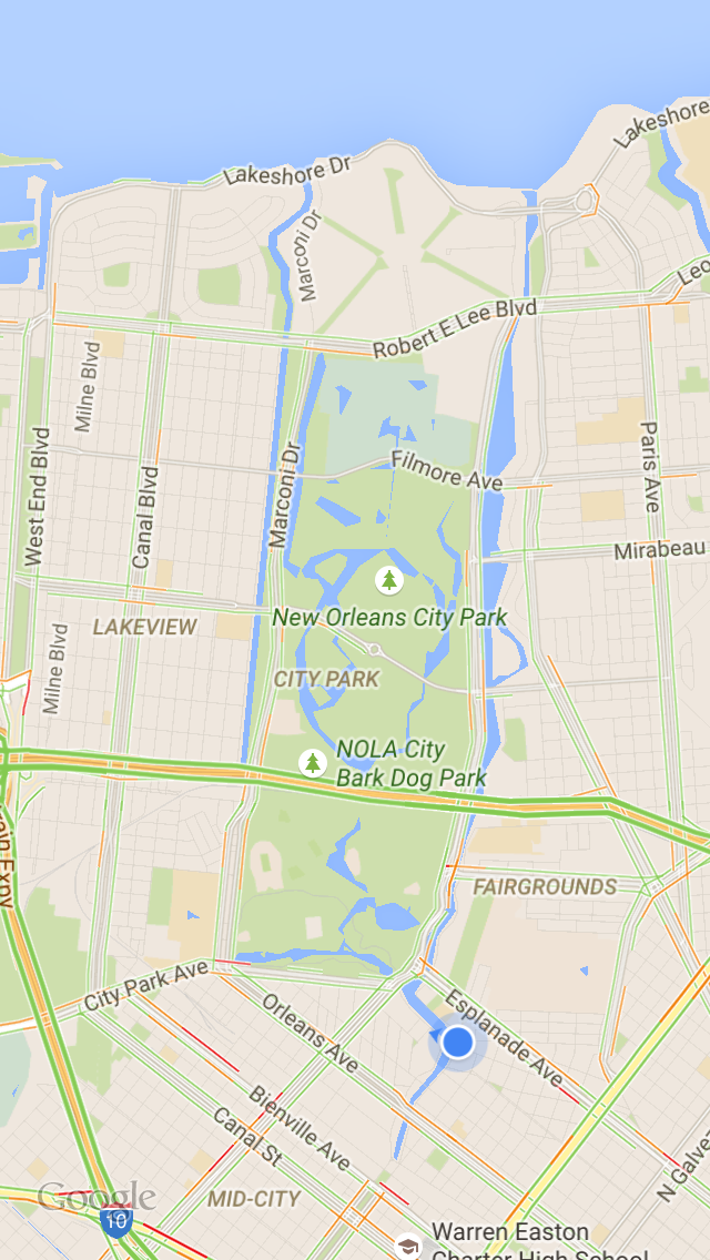
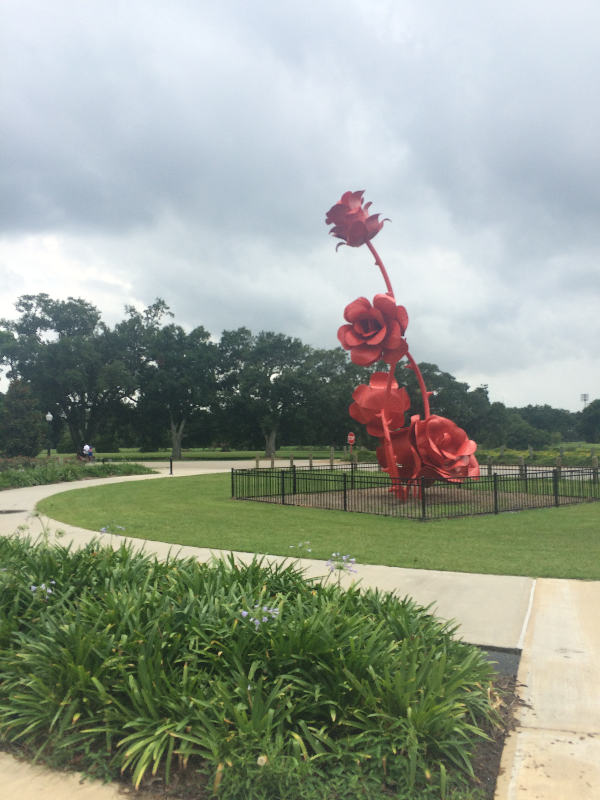
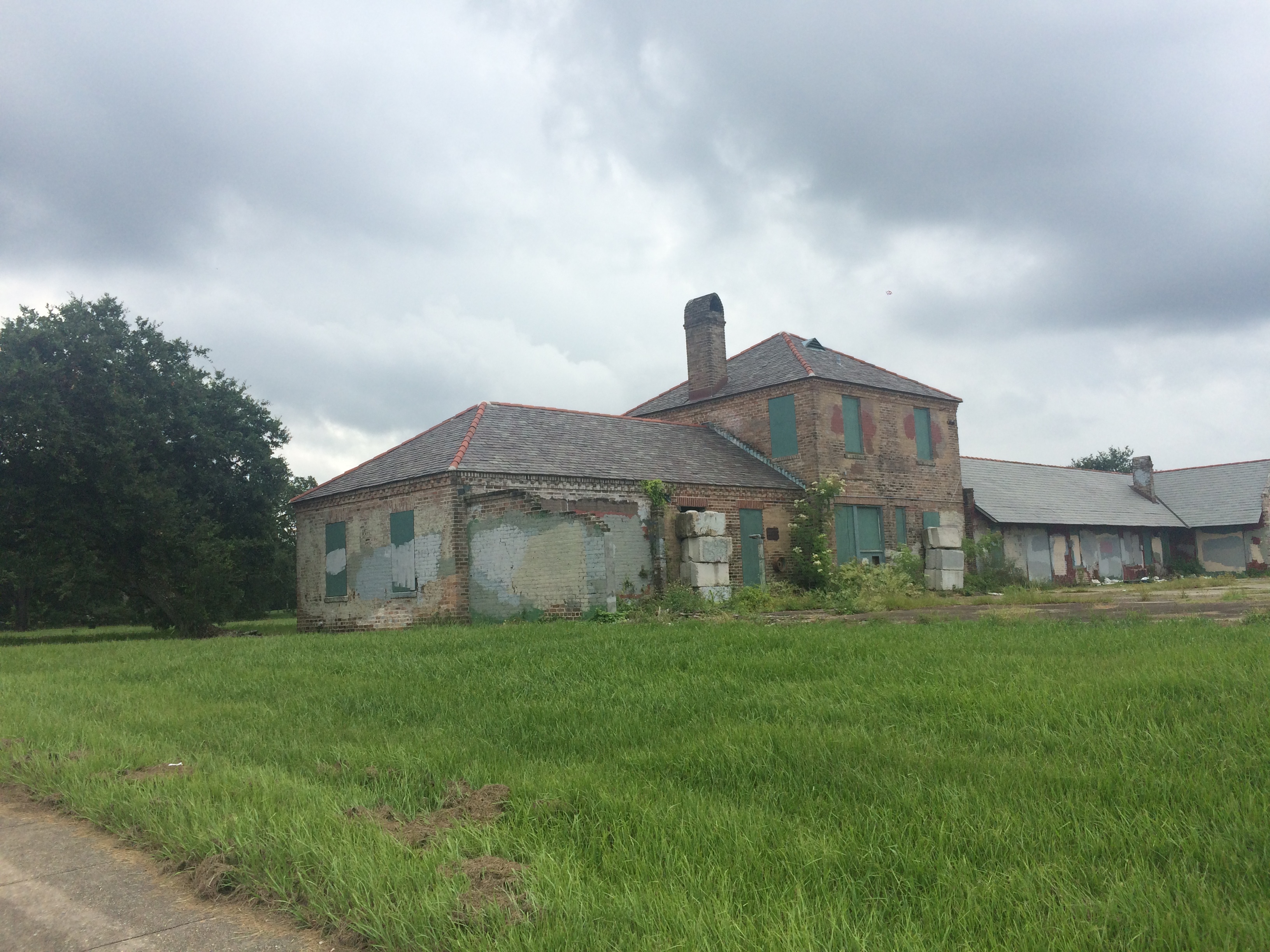
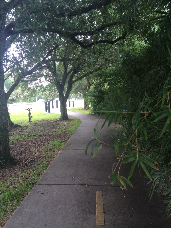
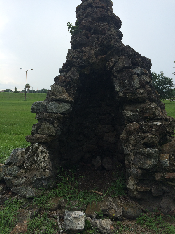
Without further ado, here is a bit of poetry to brighten your day. It will brighten your day because it’s absolutely ridiculous, typifying the romantic language (not to mention values) that defined the period. At the moment this article was written, City Park was experiencing a renaissance after decades of ad hoc development punctuated by years of neglect. Within thirty years, it would largely resemble the City Park we know and love.

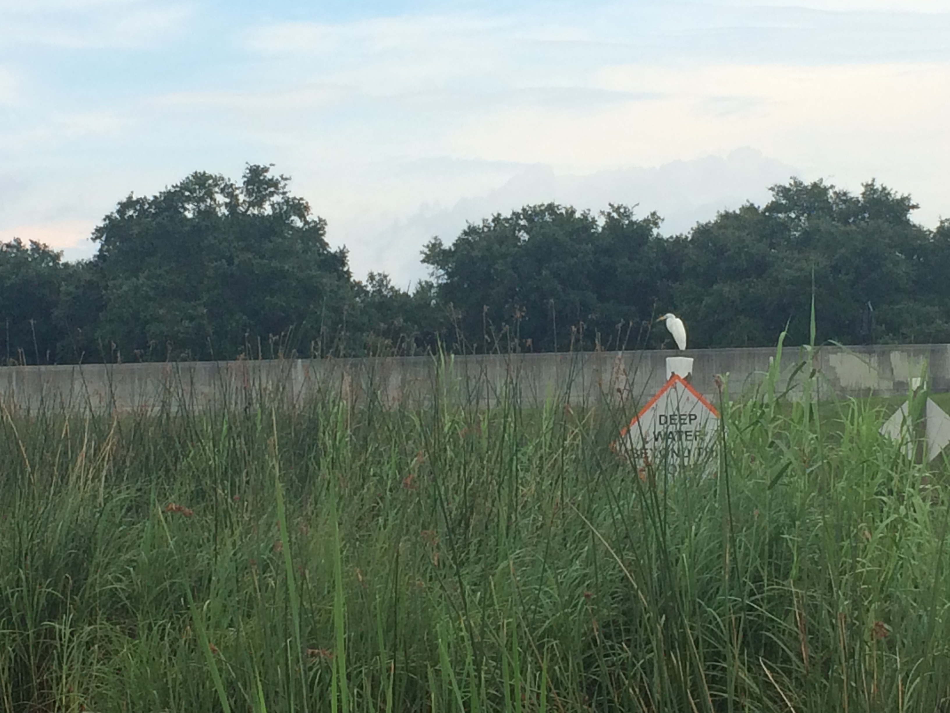
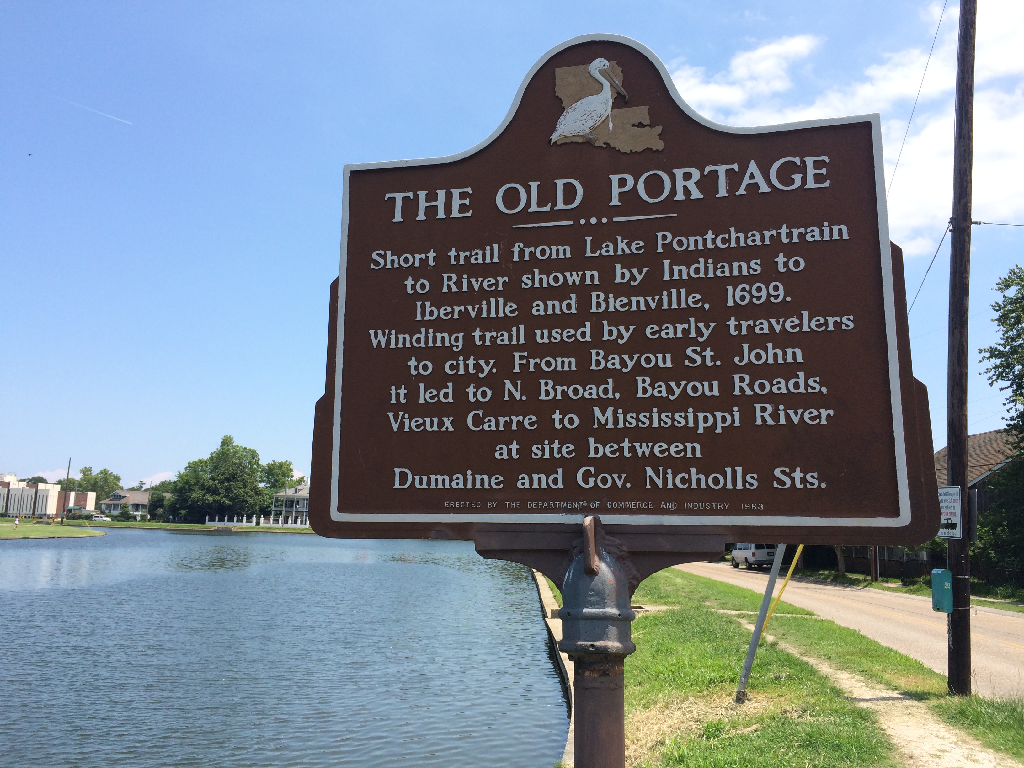
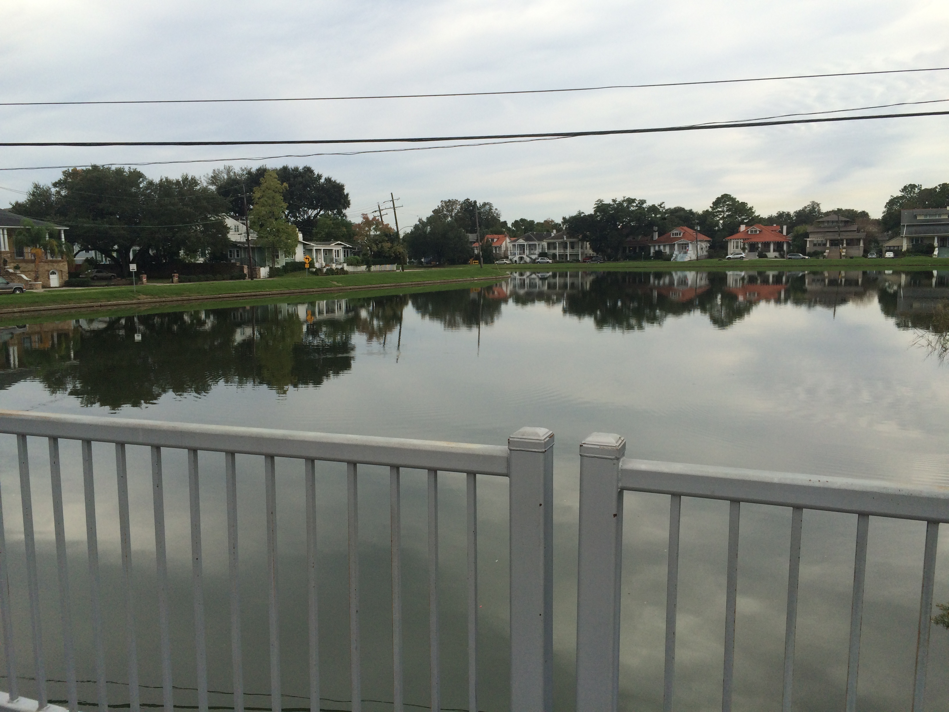
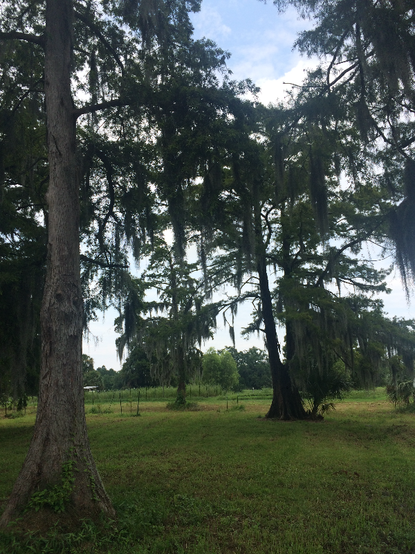
Lying between Canal street and Esplanade avenue, with the city cemeteries pressing close on one hand, with the sweet, sunlit spaces and gabled roofs of the old soldiers’ home on the other, with the cypress swamps of the lakeshore trooping up to the line fence like a horde of curious aborigines, with the bayou St. John [sic] and its sleepy sloops protecting it like a moat of old, with here and there a quaint Creole home close to its limits, the city park lies like a fallow field that will readily become a place of great beauty.

It is situated on a ridge as if here the flat-chested earth was swelled into a gentle mound. Across its width creeps the sluggish brown bayou Solage [sic], all choked with sedges and set like an illuminated missal with purple flag flowers and the delicate Holy Ghost lilies that flutter on their pale stalks like the ghosts of dead white butterflies chained to earth for their sins.

The greening grass wears here and there a delicate broidery of daisies, and the rough, seamed roots of thorn and oak are festooned with the pale grace of the southern wild violet, more lovely than any other in color. In the far corners heaps of blackberry vines shine like free skies set with white stars. [1]

Did you catch the horde of curious aborigines part? Or the dead butterflies chained to earth for their sins? This thing reads like a bad creative writing exercise. But thank you, Catharine Cole, for loaning us some words—perhaps more than we needed—since I’m fresh out!

1. “New Orleans City Park. A Bit of History as to What it Was in Olden.” Times-Picayune, 13 Mar. 1892,p.20. NewsBank, infoweb.newsbank.com/resources/doc/nb/image/v2:1223BCE5B718A166@EANX-NB-1228BBD6E62774C0@2412171-122671E8E84CFC70@19-1241C360DC863233@New Orleans City Park. A Bit of History as to What it Was in Olden?p=AMNEWS. Accessed 30 May 2017.

ENERGY AND HISTORY

This week, in light of the intense controversy the slated removal of the city’s Confederate monuments has invoked, I thought I would excerpt a previous post that seems relevant to the discussion, as well as include a few compelling images from past and present.

As anyone who has been paying attention is well aware, the statue of Confederate General P.G.T. Beauregard, perched between the bayou and the entrance to City Park, is one of the monuments that will be removed in the near future. Given the high emotions surrounding this decision, I couldn’t help but think of the history of this particular intersection—both its political and geological history.

From my previous post about the roiling energy of this particular intersection, with some current commentary woven through:

“Around where the Bayou St. John meets Esplanade Avenue, near the entrance to City Park: this place is its own ‘energetic system’….The phenomena, geological and historical, that have unfolded at this location over the last few thousand years have charged it up so much that next time you’re there—crossing over the bridge to go to the NOMA, for example—you might be able to feel it. [Oh boy, that’s truer today than ever!] Let me give you the briefest of brief histories about this particular spot.

Before the Mississippi River swung toward its current path 700 years ago, a main arm of the river flowed west to east from present-day Kenner, through the heart of New Orleans, out to present-day New Orleans East.

They call this, among other similar names, the Metairie-Sauvage distributary. This former limb of the Mississippi River is crucial to our tale. For one thing, it built up the relatively high, well-drained Metairie-Gentilly ridge system…. It also spawned (gasp!) the bayou itself! Near where modern-day Esplanade Avenue nears City Park, this former distributary meandered…sharply. No one quite knows why it did, but we do know that in the process of meandering it sent yet another distributary southward (a body of water simply called the Unknown Bayou, that would eventually form Esplanade Ridge) and another, smaller distributary northward, toward the lake (the Bayou St. John!). For some inexplicable reason, the Metairie-Sauvage distributary split into three, irregular fingers at this location—and thank goodness it did!  [1]

Here’s another theory about the bayou’s birth, since what I’ve explained above is not 100% certain: it’s possible that after the Mississippi chose its current path 700 years ago and the Metairie-Sauvage course was abandoned—becoming a sluggish bayou in the process—the Bayou St. John formed as a drainage conduit for this larger bayou. At a weak point in the natural levee (around where present-day Esplanade nears City Park!) the Metairie-Sauvage flood waters crevassed and flowed toward the lake, a process that would repeat itself until the bayou was gouged permanently into the landscape. It’s possible, indeed probable, that the formation of the bayou is a combination of these theories—a drainage conduit throughout the millennia, if you will.

Either way you slice it, this spot—near where City Park Avenue meets Carrollton at Moss, near the roundabout with P.G.T. Beauregard at its center, near where the bridge spans the bayou and oak-lined Esplanade begins—has seen a lot of prehistoric action. Water trickling, gushing, overflowing, bifurcating—to the north, to the southeast, to the east. Water heaping up and creeping through. It’s seen a lot of historic action as well.…”

Yes, yes it has. And it is watching history unfold as we speak!

postcard courtesy of Bayou St. John resident Bill Abbott


photo by Simi Kang, 2017.


photo by Simi Kang, 2017.


1. Richard Campanella, Bienville’s Dilemma: A Historical Geography of New Orleans (Lafayette: Center for Louisiana Studies, 2008) 77-78.

RECLINING MERMAIDS AND STOLEN PLANES

While combing through 150 years of Times-Picayune articles that mention Bayou St. John, I have learned of countless strange objects discovered in its murky “depths.” This week, I thought it would be fun to compile just a few. What do a locked safe, an unearthed coffin, a “nude stripper,” a stolen airplane, and a mermaid have in common?

In 1960, two fishermen discovered a locked safe in the bayou, and, after unsuccessfully attempting to haul it out, called the police. Last we heard of this safe, it was traveling in a “tow wagon” to the police station, at which point the police were going to attempt to find out who it belonged to. [1]

In an article from 1974, we find a comical photo of a naked man (buttocks to the camera) near the Magnolia Bridge. In front of him, thigh-deep in the water, a patient-faced, bespectacled man appears to be attempting to convince the naked man of something. Meanwhile, two police officers appear to be trying to pull the naked man from the water from behind with pieces of…string. On the bridge, onlookers crane their necks to get a better look. The caption reads: “While social worker Edward Buuens distracts a nude man who had waded into Bayou St. John, Ptn. B. B. Booth, of the New Orleans Police Dept. emergency unit prepares to pull the unidentified stripper from the cold water. The only explanation given by the man was that he was going to ‘stay in the water until I stop smoking.’” I wonder how that string strategy worked out for them…. [2]

Ok, I cheated a little bit with the unearthed coffin. It wasn’t found in the bayou so much as in someone’s front lawn who lived close to the bayou. It just had to make it into this story! In 1968, a woman called the police after spotting “a rusting metal coffin that was ornate and quite expensive” sitting on her front lawn. The police arrived and opened it, only to discover a few bits of trash and a “large funeral flower arrangement, faded and yellowed with age.” [3]

In 1975, a man claims to have spotted a mermaid in the bayou. Twice. “While many folks are preoccupied seeking something hideous like the Loch Ness Monster,” R.C. Ryan decided to put “his phantom-seeking time to better use” by searching for beautiful mermaids. If you aren’t already skeptical, consider the description of Ryan’s mermaid: “‘She was reclining languorously on the bank….She was ravishingly beautiful with her raven tresses billowing in tangled disarray and framing her peach-blossom cheeks.’” She sounds like the type of mermaid one might find in a paperback romance novel, as opposed to in the bayou, but what do I know? [4]

Lastly, in 1983, a pilot “crashed-landed a stolen, single-engine plane in Bayou St. John…leaped from the sinking craft, swam to shore, and fled in soggy clothes….” Witnesses spotted the plane “sputtering” over City Park before it veered toward the bayou where it meets the lake, clipped the crown of an oak tree, and barely missed the footbridge that once spanned the bayou near Spanish Fort before it finally crashed into the water. The plane was discovered to have been stolen from Guadalupe County Airport in Sequin, Texas, over a year earlier. [5]


  1. Times-Picayune, 30 Jun. 1960, p. 2. NewsBank. Accessed 5 Apr. 2017.
  2. Times-Picayune, 14 Dec. 1974, p. 2. NewsBank. Accessed 5 Apr. 2017.
  3. Times-Picayune, 15 Jan. 1968, p. 4. NewsBank. Accessed 5 Apr. 2017.
  4. Times-Picayune, 12 Sep. 1975, p. 20. NewsBank. Accessed 5 Apr. 2017.
  5. The Times-Picayune The States-Item, 16 Jun. 1983, p. 1. NewsBank. Accessed 5 Apr. 2017.

CASCADES OF ENERGY: A WHIMSICAL TAKE

These bayou posts have become a way for the two sides of my writing life to converge: the history and the poetry, the “reality” and the imaginary. See below for an example of what I mean.

My favorite part of Sherwood Gagliano’s “Geoarchaeology of the Northern Gulf Shore” is when he talks about natural systems: “Natural systems are defined by recurring patterns of flow of energy and materials on, or near, the earth’s surface. These energy flows or fluxes are most commonly in the form of fluid movement (water, ice, wind, etc.) but may also be through chemical processes. Energy flow is the integrating factor that defines the natural system.”[1 ]In New Orleans, we are part of a deltaic coastal “cascading system.” We live at a point of interaction between deltaic and coastal forces—where fresh water and salt water meet: “a chain of systems…dynamically linked by a cascade of energy.”[2] This energetic formula defines our geography, and therefore our history. I love the word “energy” because it’s both scientific and whimsical in its usages. Another convergence. Let’s follow it!

Around where the Bayou St. John meets Esplanade Avenue, near the entrance to City Park: this place is its own energetic system, according to me. The phenomena, geological and historical, that have unfolded at this location over the last few thousand years have charged it up so much that next time you’re there—crossing over the bridge to go to the NOMA, for example—you might be able to feel it. Let me give you the briefest of brief histories about this particular spot:

When the planet warmed after the last ice age, the frozen water that had spread across our continent began to melt, flushing into a massive declivity in the landscape called the Mississippi Embayment and flowing down to the Gulf, bringing with it monumental amounts of sediment. The sediment accumulated until it rose up out of the sea and formed its own land. Anywhere this proto-Mississippi River went, it built the land beneath itself higher and higher. Eventually, with the help of gravity, it would slice through its own banks and find a more direct path to the sea. In this way, the Mississippi has been building and swinging, building and swinging, for thousands of years. For a while, before it swung toward its current path 700 years ago, a main arm of it flowed west to east from present-day Kenner, through the heart of New Orleans, out to present-day New Orleans East.[3]

They call this, among other similar names, the Metairie-Sauvage distributary. This former limb of the Mississippi River is crucial to our tale. For one thing, it built up the relatively high, well-drained Metairie-Gentilly ridge system (which, along with the Esplanade Ridge, was crucial to our city’s early history) through the alluvial process outlined above. It also spawned (gasp!) the bayou itself! Near where modern-day Esplanade Avenue nears City Park, this former distributary meandered…sharply. No one quite knows why it did, but we do know that in the process of meandering it sent yet another distributary southward (a body of water simply called the Unknown Bayou, that would eventually form Esplanade Ridge) and another, smaller distributary northward, toward the lake (the Bayou St. John!). For some inexplicable reason, the Metairie-Sauvage distributary split into three, irregular fingers at this location—and thank goodness it did!

Here’s another theory about the bayou’s birth, since what I’ve explained above is not 100% certain: it’s possible that after the Mississippi chose its current path 700 years ago and the Metairie-Sauvage course was abandoned, becoming a sluggish bayou in the process, the Bayou St. John formed as a drainage conduit for this larger bayou. At a weak point in the natural levee (around where present-day Esplanade nears City Park!) the Metairie-Sauvage flood waters crevassed and flowed toward the lake, a process that would repeat itself until the bayou was gouged permanently into the landscape. It’s possible, indeed probable, that the formation of the bayou is a combination of these theories—a drainage conduit throughout the millennia, if you will.

Either way you slice it, this spot—near where City Park Avenue meets Carrollton at Moss, near the roundabout with P.G.T. Beauregard at its center, near where the bridge spans the bayou and oak-lined Esplanade begins—has seen a lot of prehistoric action. Water trickling, gushing, overflowing, bifurcating—to the north, to the southeast, to the east. Water heaping up and creeping through. It’s seen a lot of historic action as well. Did you know, for example, that in 1908 they removed the bridge that spanned the bayou at Esplanade to make way for a larger bridge, more accommodating to automobiles, and that after they removed it, they strapped it to a barge and floated it down to a spot just across from present-day Cabrini High School? That’s right: our iconic Magnolia Bridge was once at Esplanade Avenue. And did you know that in the construction of this new fancy bridge at Esplanade, there was a tragic accident and the thing collapsed and fell, killing and injuring workers on its way down?

Yes, this mini energy system is roiling indeed. See if you notice it next time you’re there!

Where City Park Avenue intersects Carrollton Avenue at Moss Street. photo by author

The bayou, riverside of the Esplanade bridge. photo by author

The Esplanade bridge looking toward the entrance of City Park. photo by author

1. Sherwood M. Gagliano, “Geoarchaeology of the Northern Gulf Shore,” Perspectives on Gulf Coast Prehistory, ed. Dave D. Davis (Gainesville: University of Florida Press/Florida State Museum, 1984) 6.
2. Gagliano, “Geoarchaeology of the Northern Gulf Shore,” 11.
3. Richard Campanella,Bienville’s Dilemma: A Historical Geography of New Orleans(Lafayette: Center for Louisiana Studies, 2008).

FLUNG ROSES AND STOPLIGHT GRAVEYARDS

After a long hiatus, bayou posts are back! I know you’ve been waiting on tenterhooks….

After four months of more general Bayou St. John research, I am about to start focused research for the first chapter of the book—on the bayou’s geomorphic/geographic and Native American history. If anyone has any advice for me—ideas for what to read, who to talk to, etc.—reach out! I get to talk about former Mississippi River pathways, sediment deposits, pirogues, trade routes, slight-but-significant ridges.… CAN’T WAIT.

The past couple weeks, I’ve been on a few bayou adventures.

I biked the almost-100%-completed Lafitte Greenway—a 2.6-mile bicycle and pedestrian trail extending from N. Alexander St., near the base of City Park, to the French Quarter.

New Orleans residents may or may not realize that the Lafitte Greenway follows the path of the former Carondelet Canal, a waterway hand-dug by slaves in the late 18th century, when New Orleans was still under Spanish control, and utilized throughout the 19th century as a commercial conduit between the bayou and the French Quarter. This meant ships laden with goods from settlements north of Lake Pontchartrain or along the Gulf could avoid navigating the Mississippi River altogether and travel through Lake Pontchartrain, down Bayou St. John and into the Carondelet Canal in order to off-load their goods at the rear of the French Quarter.

A vew of the Lafitte Greenway between the bayou and Broad St.

If you ever wondered where old New Orleans stoplights ended up….

The open canal that runs between Broad Street and the bayou, positively gushing as it exits the Broad St. pumping station. Doesn’t it look almost turquoise? Don’t let that fool you. It stinks.

The giant locks at the Broad St. pumping station that control whether water flows up the underground culvert beneath Broad St., or else out to the Orleans outfall canal, via the open canal along the greenway.

There is much more I could (and WILL, in the book) say about the Carondelet Canal. But for now: there is a fabulous (free!) exhibit at the Pitot House on the history of the Carondelet Canal, curated by the Louisiana Landmarks Society, in celebration of the opening of the Lafitte Greenway. So many beautiful old maps and photographs!!! It is both succinct and intensely interesting. I HIGHLY recommend it.

After biking the greenway, I checked out the historic Ossorno House in the Quarter, at 913 Governor Nicholls.

This house was built on the Bayou St. John sometime before 1781 and apparently dismantled and transported, most likely via mule and cart, along Bayou Road to its present location—as were all goods traveling from the bayou to the Quarter before the Carondelet Canal was dug. According to geographic historian Richard Campanella (one of my heroes), in his Geographies of New Orleans: Urban Fabrics Before the Storm, the house is a fine example of a French Creole-style plantation house (although the roof was remodeled sometime in the 1830s)—one of only two plantation-style houses to be found in the French Quarter (the other being Madame John’s Legacy)—which testifies to its rural birth on the bayou. Campanella tells us it’s “the oldest extant structure in the rear of the original city” (106).

I then decided to bike the approximate path of this all-important route along Bayou Road, one of the principal reasons why New Orleans was founded where it was (for access to the river without having to navigate its mouth, as was mentioned above).

In traveling along the (approximate) portage route, one follows Bayou Road, which ends at the crazy, navigationally-nightmarish, odd-angled intersection of Bayou Road, N. Dorgenois, Desoto, Bell, and Kerlerec streets (thank god there’s delicious food right there, at Pagoda Cafe, for the weary, confused traveler) and continues along Bell Street (approximately) to the bayou. The exact location of the original route’s intersection with the bayou was probably somewhere between Bell St. and Desoto (more on this once I continue more in-depth research on the subject).

This terrible panoramic photo (thanks iPhone!) taken from next to Pagoda Cafe, while inaccurate in perspective, I think does justice to the psychological experience of navigating this intersection….

While in this neighborhood, I found…

A historic cornstalk fence at the historic (1870) Dufour-Plassan House.

The approximate general region where Almonaster built a leper hospital in the late 18th century.

An awkward spot where Barracks Street and Bayou Road diverge at a bizarre angle, since Bayou Road does not adhere to the grid plan the rest of the streets in the area adhere to—following, as it does, a natural ridge, the one the Native Americans used to cross the uncrossable swamp between the bayou and what is now the French Quarter.

Finally, I arrived at the bayou itself. Here are a few spots of interest along its banks, a couple of which I was lucky enough to get to go inside of (!!), courtesy of the generous, unsuspecting homeowners I found busying themselves in their front yards.

The house, at 1222 Moss Street, that sits atop what was once a small bayou connecting Bayou St. John and Bayou Sauvage, long since filled in.

What is referred to as “the old Spanish custom house,” although it never officially served as a custom house (there are various theories as to why people refer to it as such). I was lucky enough to get an in-depth tour of the inside of this home (!!!), the owner of which has been painstakingly renovating it for six years. Beneath layers and layers of renovations that have been done over the past two and a half centuries, he has made some amazing discoveries—like anactual iron jail cell, apparently dating from the Spanish colonial period, that the current owner suspects was used to hold folks who were smuggling illegal goods up the bayou, or who perhaps couldn’t pay the toll. ARE YOU KIDDING THAT’S AMAZING.

Below is the plaque that explains a bit more about the house.


Roses that someone had flung into the bayou near the Magnolia Bridge.

And, last but certainly not least, what is perhaps my favorite historic house along the bayou, built in the last decade of the 18th century: “The Sanctuary.” Walter Parker, former mayor of New Orleans, who spearheaded the “beautification” of the bayou in the 1920s and 1930s and who is therefore responsible, in large part, for the bayou as we know it today, once lived in this house. I wasalsolucky enough to be able to see the back courtyard of this home—guarded by a three-hundred-year-old live oak tree that predates the house, and other amazing, old, beautiful things. More on this house, and its many previous owners, to come.

BAYOU BIKE RIDE

Over the weekend, my best-adventure-companion Lauren Gauthier and I took a bike ride from the bottom of the bayou to the top. That is, from Jefferson Davis Parkway to Lake Pontchartrain, the brackish estuary that serves as the bayou’s water source (and that is also home to, supposedly, the longest, continuous bridge in the world). We biked along the bayou’s crooked southern section—arguably the most historic, since most of the original planters in the Bayou St. John area made their homes there, beginning in 1708, and since much of the Faubourg St. John’s most historic homes can be found along Moss Street, the charming street split down the middle by the bayou itself.

(Planters wanted land near the southern end of the bayou because it’s the most suitable for agriculture. It’s the most suitable for agriculture a) because it’s above sea level and b) because it was chock-full of nutrient-rich Mississippi River sediment. It’s both of those things because the ridges around the bayou’s southern half—Gentilly and Metairie Ridges—were former natural levees of a former distributary of the Mississippi River, formed by the river overtopping its banks and dumping its sediment in the process.But I digress!)

We then cut through City Park…

The statue of Confederate General P.G.T. Beauregard, one of several Confederate monuments the city is considering removing, at the entrance to City Park.

Will Ryman’s rose blossom sculpture, set up in City Park as part of Prospect 3.

Cypress trees: north of Gentilly and Metairie Ridges, the land around the bayou toward the lake was primarily swampland and cypress forest before the city drained it in the early 20th century.

Beautiful old building in City Park. Does anyone know what this is/was?

View from beneath the Wisner overpass, leaving City Park…

and cut back toward the bayou bike path…

Imagining I am a Houma Indian or a French explorer from the 17th century, scanning the bayou from the underbrush…ignore those buildings on the far bank.

It’s hard to make out, but the right edge of that property marks the southern tip of Park Island, created because the bayou made a sharp curve here back in the day, and, because of the stream feeding it at this point and filling it up with silt and sand, folks decided it was too difficult to navigate and so dredged an additional straight path for the bayou to travel. Now it “flows” (a bayou doesn’t really “flow”) around the piece of land created when they sliced it straight.

Bayou natives on a Sunday stroll.

The lock at Robert E. Lee Boulevard, referred to as the “old flood control structure,” built in 1962. Slated to be removed when the newer flood control structure was built closer to Lake Pontchartrain in 1992, but because of lack of funding was never removed.

Above Robert E. Lee, on the west bank of the bayou, we find the colloquially-named “Spanish Fort,” built to protect the city of New Orleans from invaders from the north. Because of the bayou’s important position as part of the “lake route,” which many ships would take instead of fighting their way up the mouth of the Mississippi River, it was important to keep the mouth of the bayou extra fortified. See pictures below.

See the bayou “flowing” languidly by….

Also, does anyone know what this…

Or this is?? Located near the Spanish Fort. What am I looking at?

<

Knock knock! Who’s in this grave?? Also near the Spanish Fort. I’ve heard a folktale about this…something about a Spanish soldier, an Indian princess, and an angry Indian Chief. Somehow I question this storyline…. Anybody got any info?

And finally we reached the lake!

Where the bayou meets the lake. Once a major destination for boating and swimming…

…until this puppy was built in the 1990s for flood-control purposes. Post-Katrina, there has been much debate between the New Orleans Levee Board, in charge of flood-control, and scientists and residents regarding whether or not the bayou should be opened back up to the lake, except in times of potential flooding. Doing so would improve water quality, encourage swimming critters of all kinds to come back, and would enhance recreational use of the bayou. As of 2014, there was talk of opening this lock more often. I don’t see much recent news on the subject. Does anyone know more about what’s currently happening here?

Naturally-occurring New Orleans rocks, i.e. sandbags.

Critter bones.

Last but not least, the feathered guardian of this liminal space between locked-up bayou and Lake Pontchartrain.

MEET: "THE BAYOU BOOK"

Over the course of the next two years, in time for the New Orleans Tricentennial in 2018, I will be writing a narrative history of the Bayou St. John and its immediate environs (tentatively called Bayou St. John: A Brief History) to be published by The History Press. The History Press has published many local New Orleans authors, like my good friend Benjamin Morris for his book on the history of Hattiesburg, Mississippi, and Brian Boyles for his book New Orleans Boom and Blackout: One Hundred Days in America’s Coolest Hotspot.

I feel truly honored to have been given this opportunity to explore a small part of New Orleans’ vibrant history, a history I’ve engaged with extensively in my creative work, over the course of the next couple years. I know I will be meeting and learning from some of the city’s finest researchers, historians, and scholars—not to mention some of its most loyal long-time residents. My job will be to listen closely, to notice patterns, to get elbow-deep in files and archives, and to present it all as concisely and compellingly as possible.

Expect factoids and blog posts, tweets and photos! If you’re a New Orleans resident, and you come across someone or something that might be of relevance, don’t hesitate to reach out! It takes a village, especially for a project like this. I’d love to hear from you.

Without further ado, let me introduce you to the finest small water body in the whole of New Orleans: Bayou St. John!

The bayou flows south from Lake Pontchartrain alongside City Park; it’s like a skinny arm reaching down toward the crescent formed by the curve of the Mississippi, truncating in what could be considered the city’s center, in the Mid-City neighborhood of New Orleans.

Here I am (the blue dot), at one of the bayou’s little elbows.

The bayou—a recreational hotspot crisscrossed with historic bridges, lined with beautiful houses, host to several annual festivals and celebrations, etc. etc.—has played an important role in the cultural and geographic development of the city from the time of its founding to the present day. Each of the neighborhoods that have grown up around it, in their own way, tell an important piece of the greater narrative of the city’s history. More on all of this to come, of course.

For now, GEESE!

And a tantalizing snippet of info about the portage route stretching from the edge of the bayou to the rear of the French Quarter—a ridge of high ground, back when the city as we know it today was primarily swampland, that proved significant to the founding of the city in its present location.

A view from the historic “Cabrini Bridge,” or Magnolia Bridge, one of New Orleans’ oldest surviving bridges.

And one of the Bayou St. John neighborhood‘s historic houses, about which I hope to be learning more in the coming months.

Thank you for reading. More to come! Research officially begins tomorrow….