FIREWORKS, PANTALOONS, AND STRANGE DUELS

And now for some completely disparate events, united only by location (but come on: location is everything).

From The Times-Picayune, May 31, 1844:

“A STRANGE DUEL BLOCKED.—Two girls of the town, with their seconds who were also girls, were yesterday arrested by the police when about to fight a duel, with pistols and Bowie knives, near Bayou St. John. Finding they would not be allowed to endanger each others lives according to approved and fashionable rules, the belligerents had a small fightau naturel—or in other words, set to and tore each others hair and faces in regular cat and dog style. They are all in the calaboose.” [1]

Oh, to know more about these women and their interpersonal issues! Bowie knives!?! The newspaper seems to find this storyquiteamusing, and I swear there’s a hint of voyeurism in that “au natural,” but maybe I’m just imagining things….

From The Times-Picayune, September 19, 1847:

“Inquest.—Coroner Spedden was last evening called upon to hold an inquest on the body of J. Hoit, who was found in the Bayou St. John, opposite the draining company’s building in the Third Municipality. The face of the deceased was greatly disfigured, almost all the bones being broken or crushed, and there was a gash across his throat. The body was genteelly dressed, having on a black frock coat and pantaloons. Many papers were found upon his person, among them some letters of introduction to some of our citizens, and a letter written by himself addressed to his wife residing in the state of New York. In this letter, in which $10 were enclosed, he said that having just arrived he knew but little of the city, as he had not yet left the vessel by which he came, and would write again soon. This letter was dated on the 11th inst. [present month] There can be no doubt the deceased came upon his death by violence, and a verdict was rendered in accordance with the above facts. This case calls loudly on the authorities for the most thorough investigation. We would urge it upon their immediate attention.” [2]

Ok, which of my friends is going to write a short story about this genteel murder victim? Poor guy.

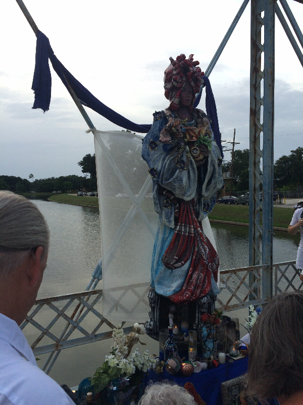
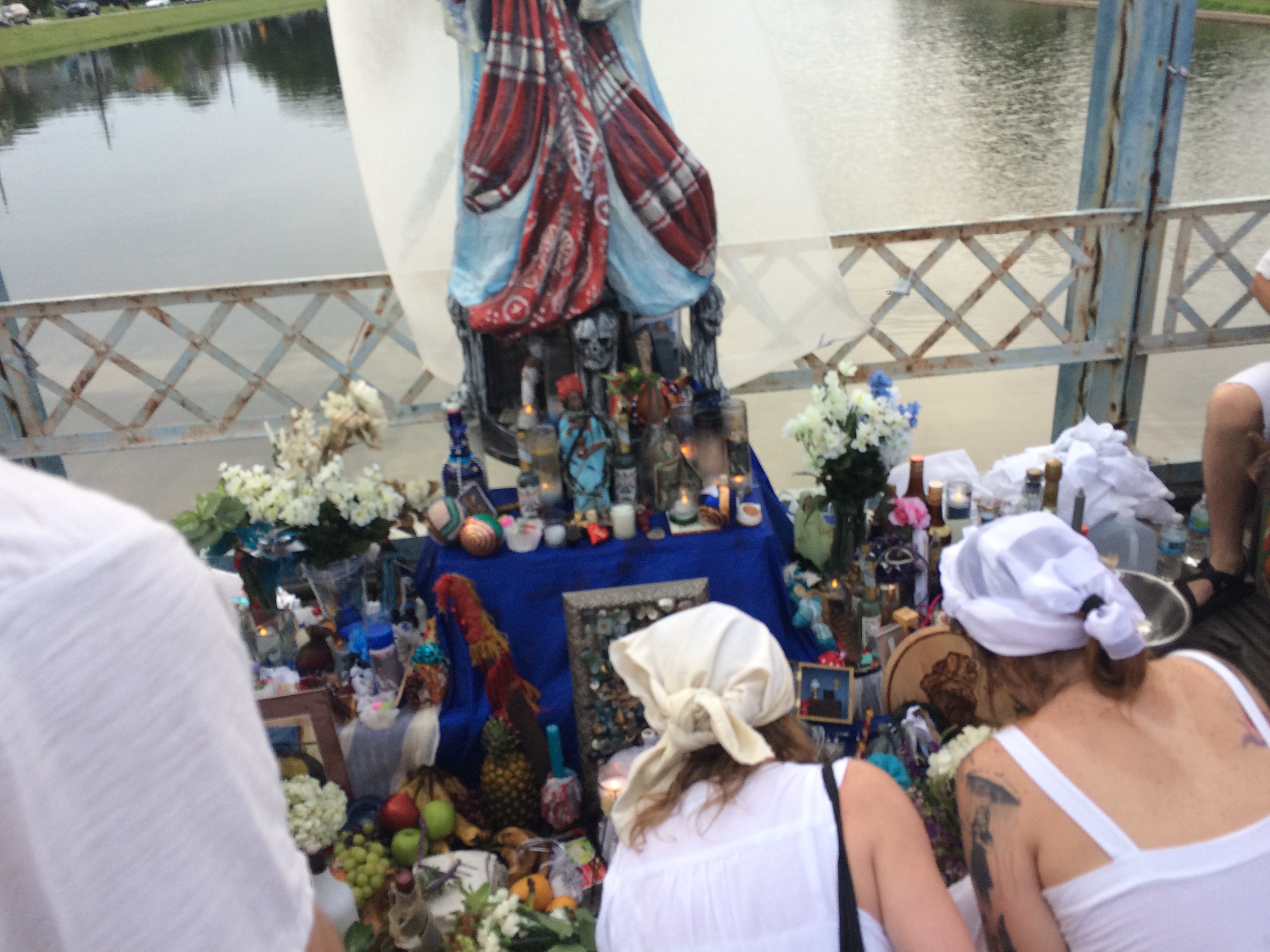
And now for some more contemporary action:

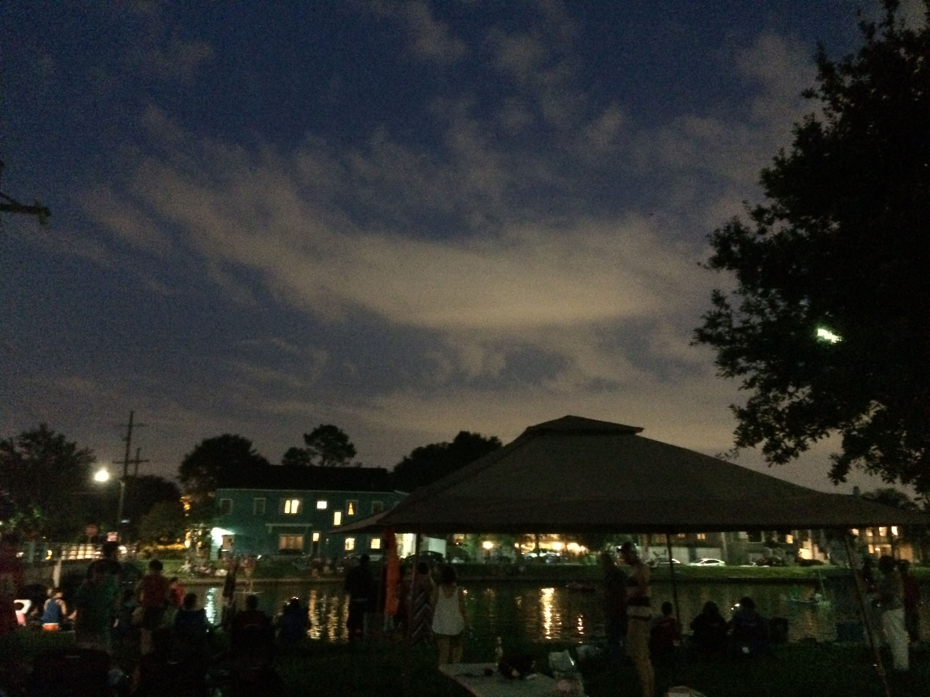
The Krewe of Kolossos 4th of July Flotilla on the bayou! DIY rafts, illegal fireworks (unconnected to the krewe, I think) and much revelry.

I was a little late and so missed most of the rafts, but I caught Giraffe Raft.

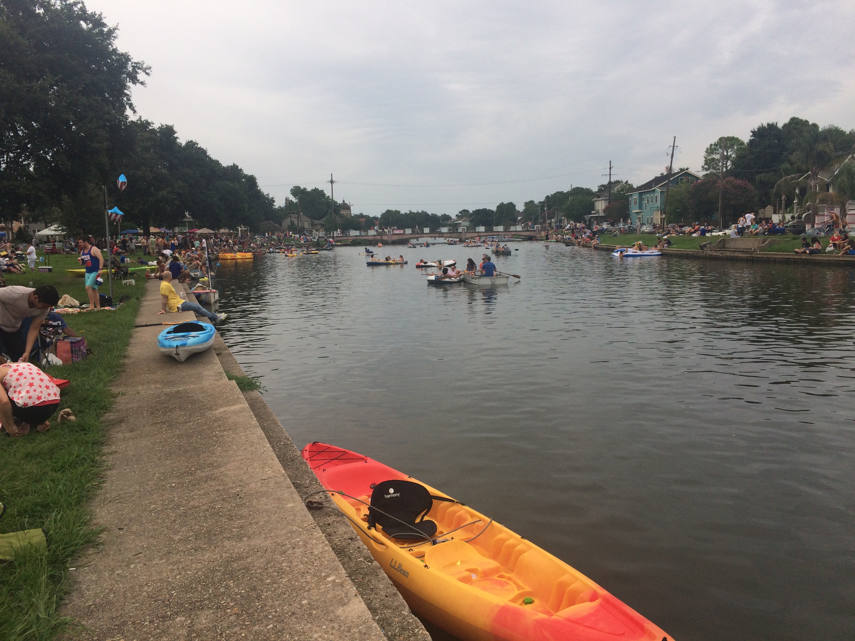
Fireworks set off among power lines and large crowds without the fire department present=terrifying AND exhilarating.

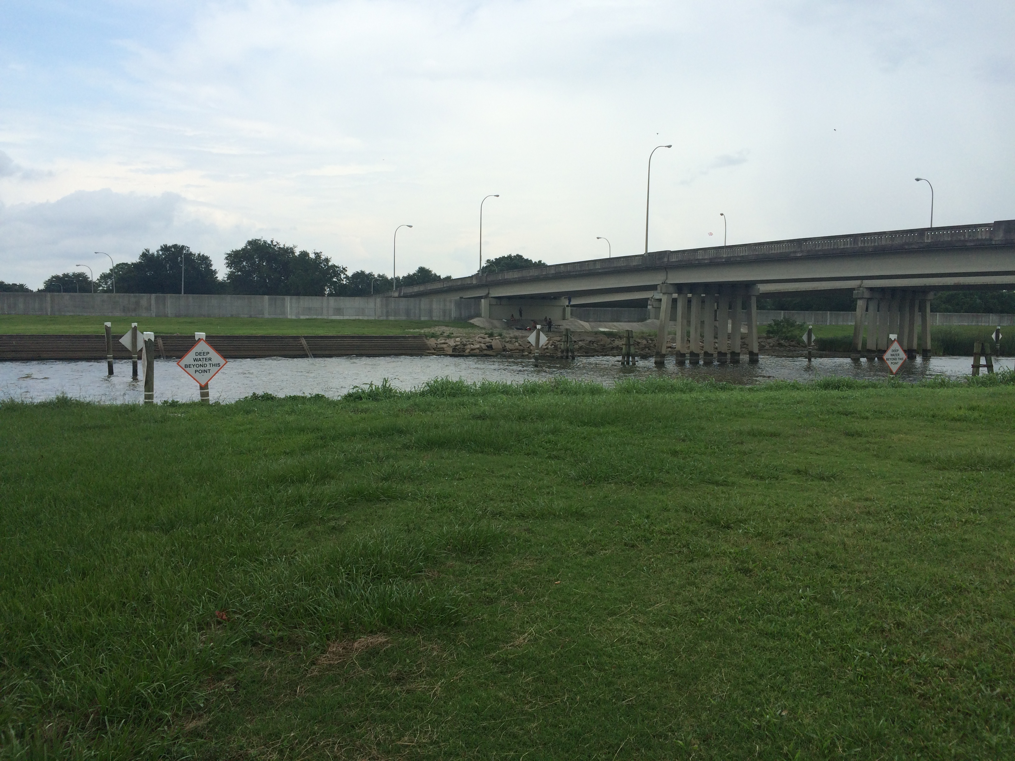
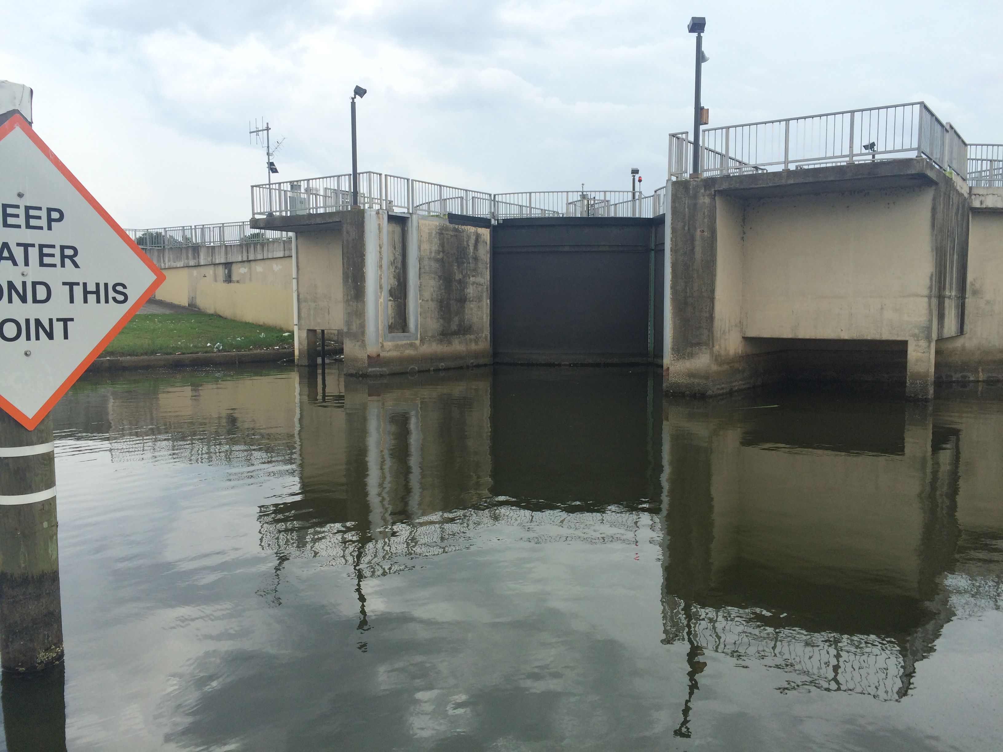
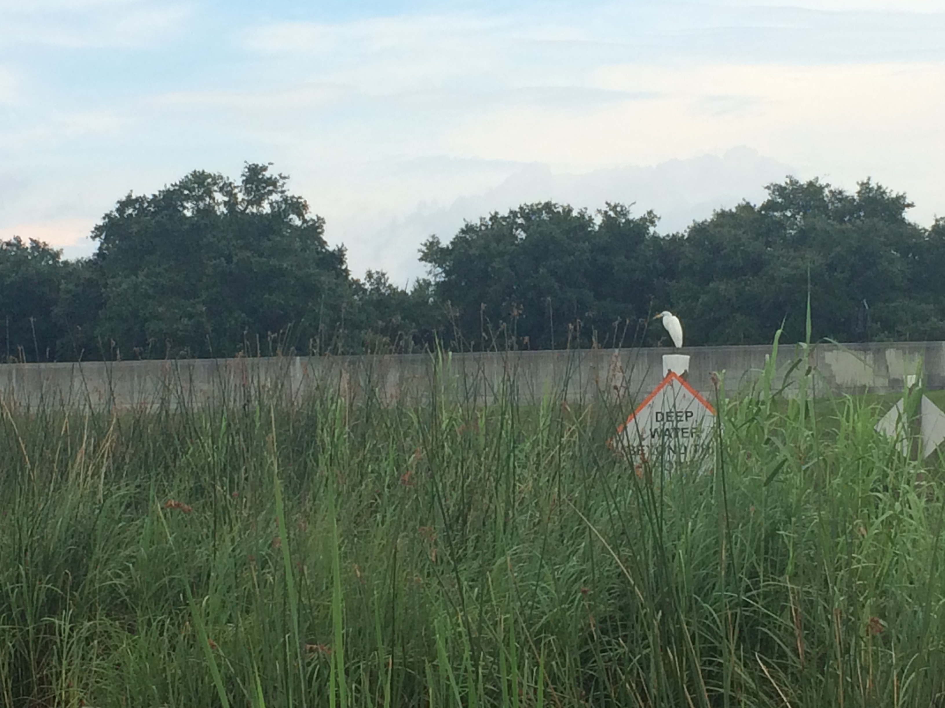
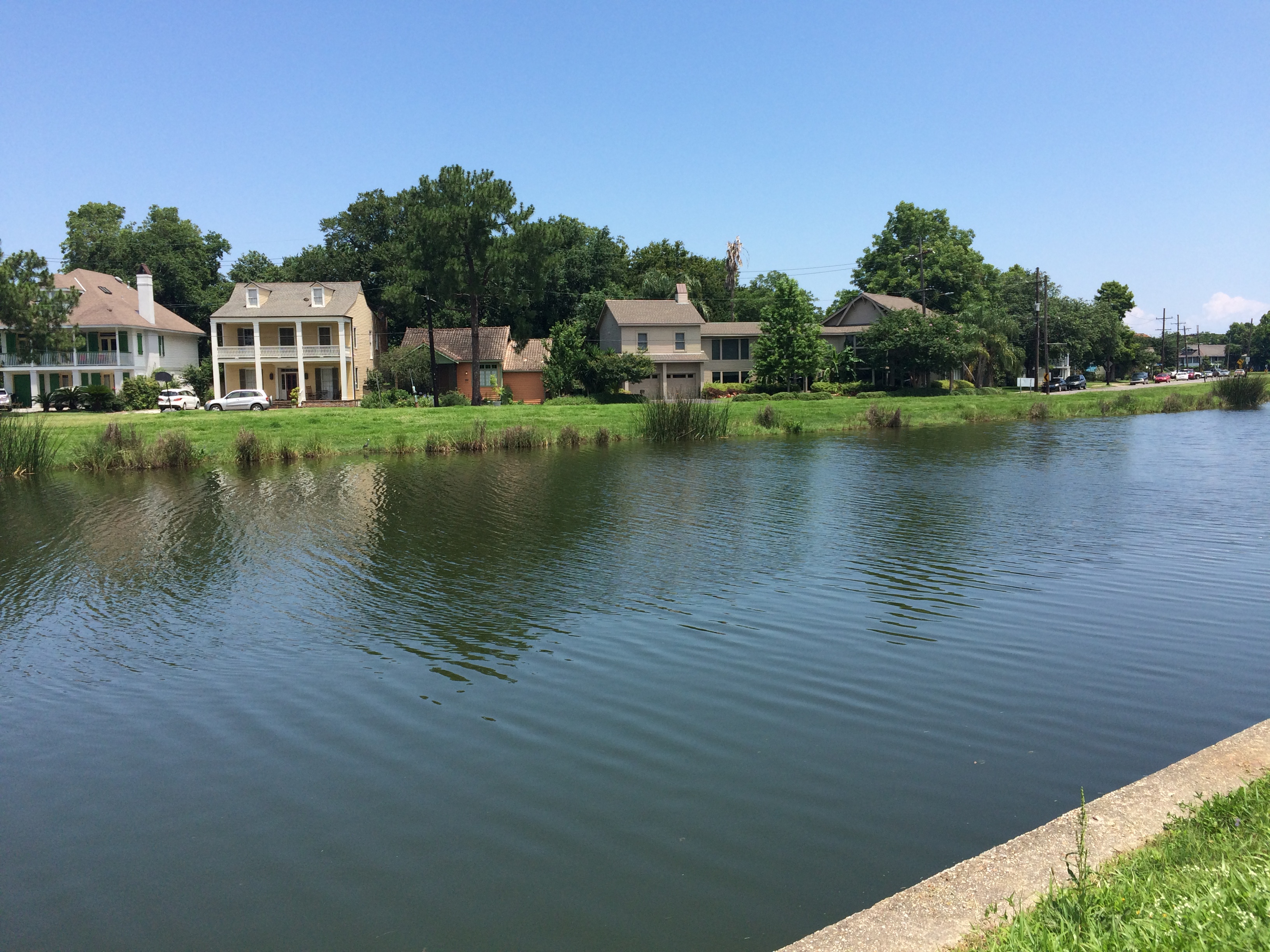
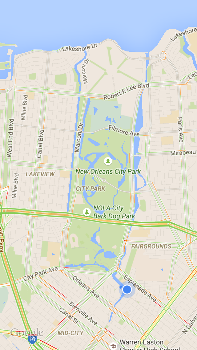
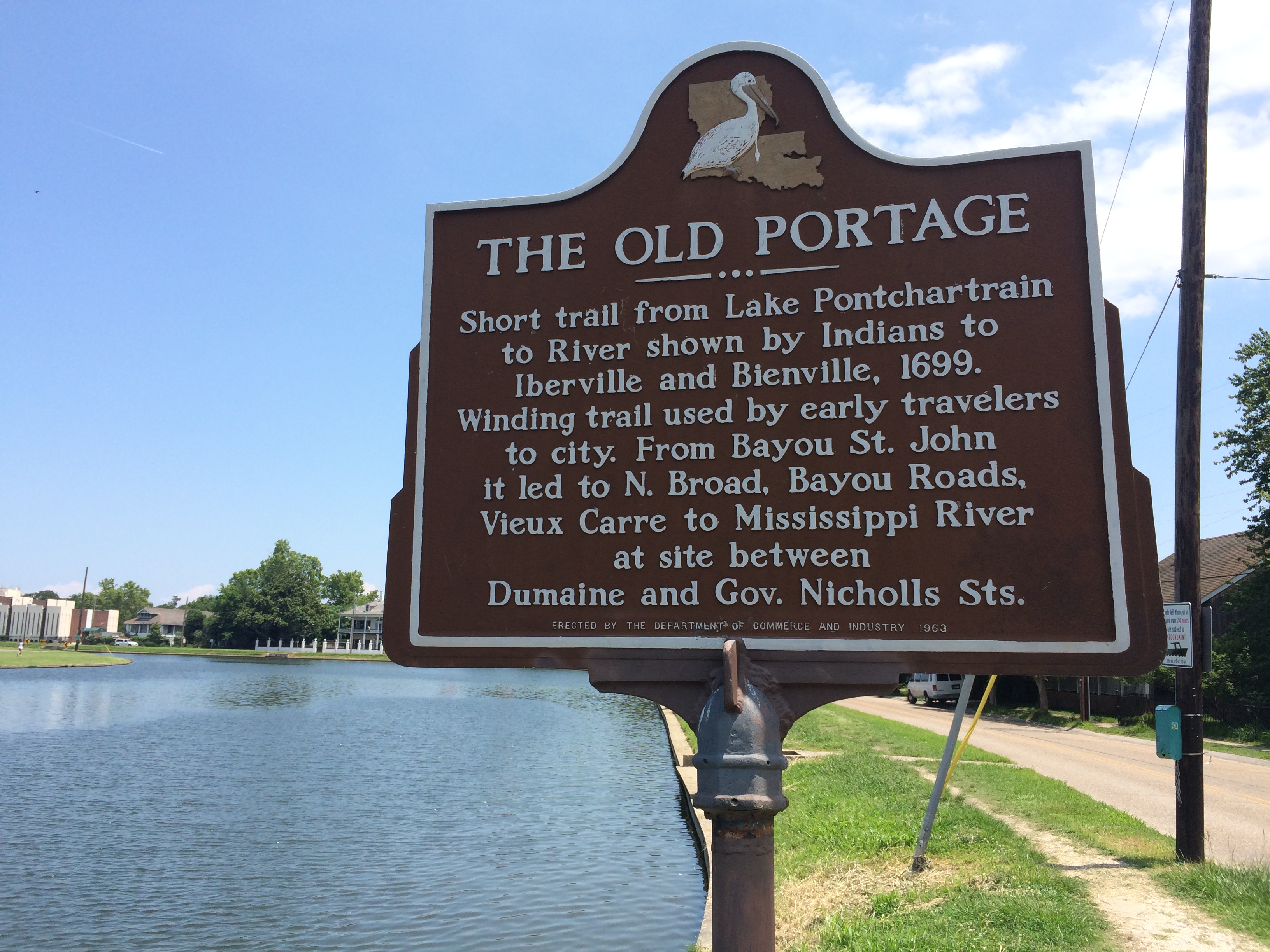
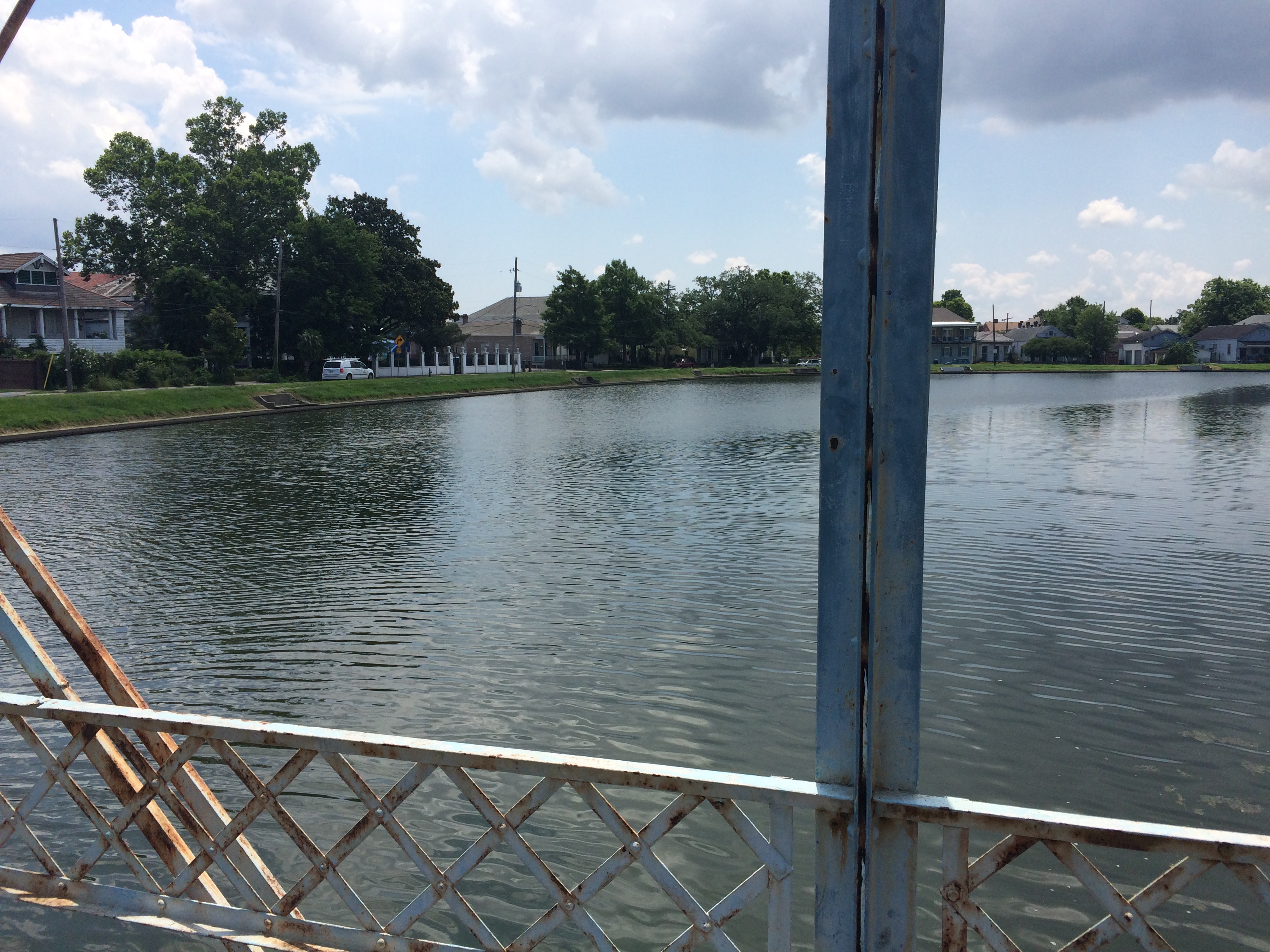
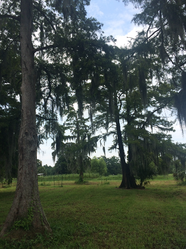
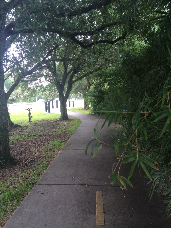
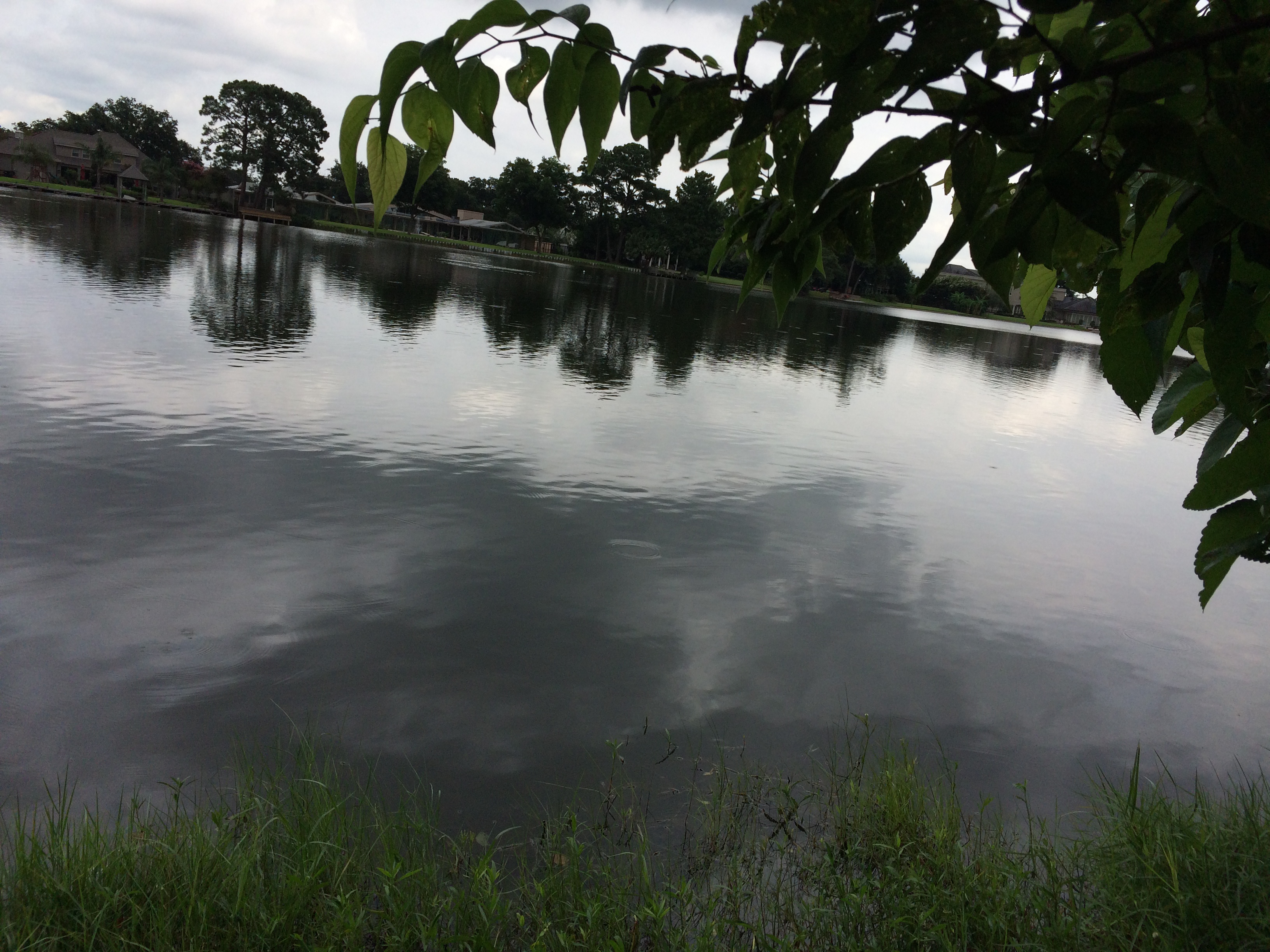
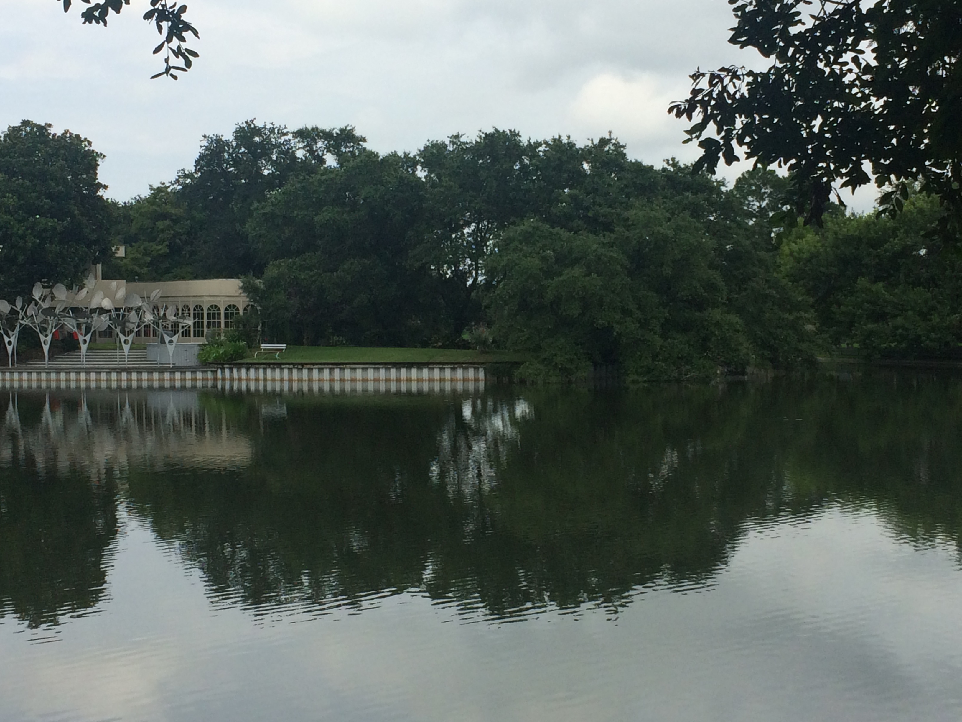
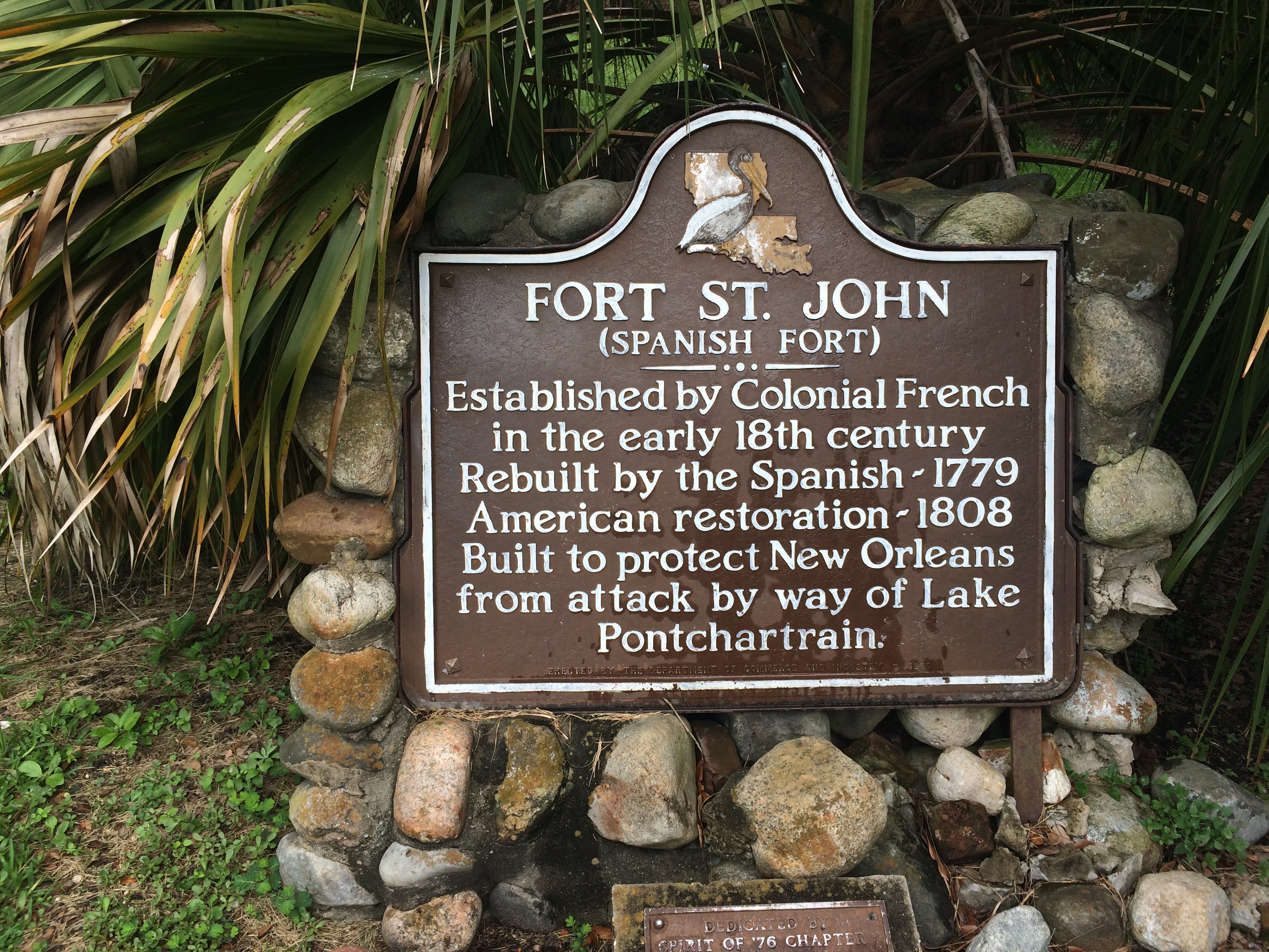
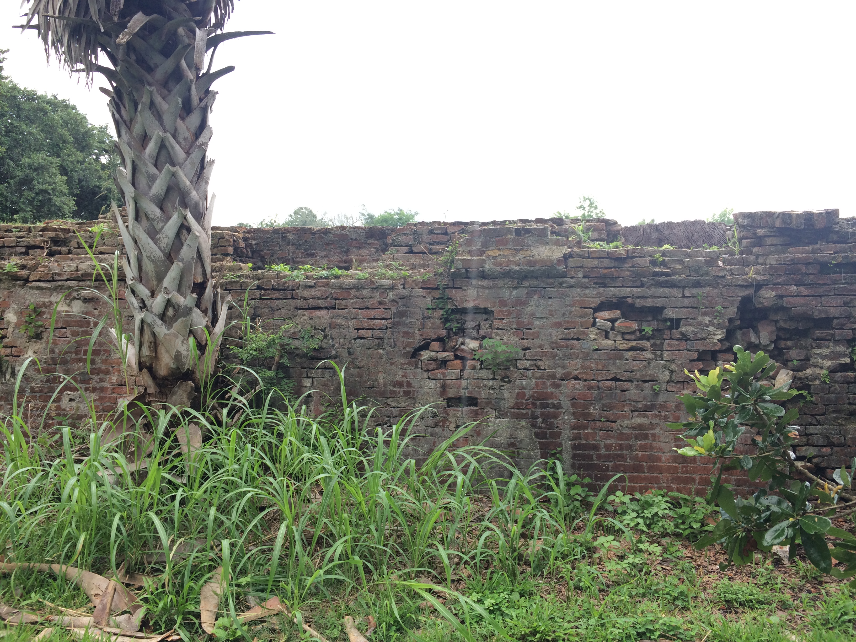
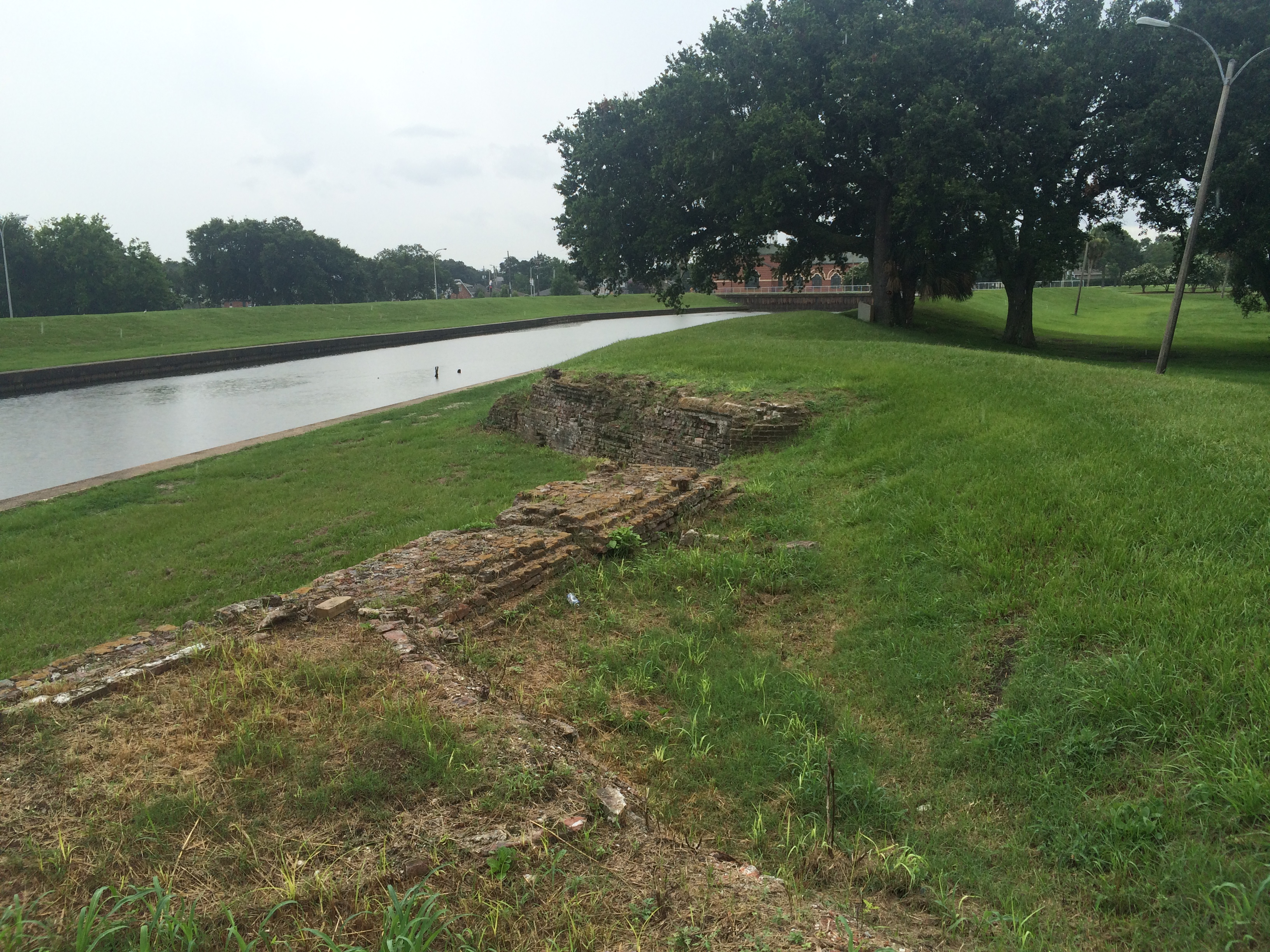
Imagine: each of the above events—violence, mystery, celebration—occurred over the course of a few hours, or maybe only a few minutes, within the span of the city’s history. I love thinking about all the action this sluggish water body has witnessed, once the city was built up around it and well before that time—between when it formed itself out of the Mississippi’s flood water (there are a couple theories out there about the bayou’s birth; this is one of them), became an important trade route for nearby Indians, and eventually saw the arrival of Colonial powers. That’s pretty impressive for a four-mile-long, hardly-flowing finger of water among a massive network of lakes, rivers, streams, canals, and many, many others bayous—a tiny rivulet in a veritable world of water….


1. “A Strange Duel Blocked.” Times-Picayune 31 May 1844: 2. NewsBank. Web. 13 Jan. 2016.
2. “City Intelligence.” Times-Picayune 19 Sep. 1847: 2. NewsBank. Web. 13 Jan. 2016.

BAYOU BIKE RIDE

Over the weekend, my best-adventure-companion Lauren Gauthier and I took a bike ride from the bottom of the bayou to the top. That is, from Jefferson Davis Parkway to Lake Pontchartrain, the brackish estuary that serves as the bayou’s water source (and that is also home to, supposedly, the longest, continuous bridge in the world). We biked along the bayou’s crooked southern section—arguably the most historic, since most of the original planters in the Bayou St. John area made their homes there, beginning in 1708, and since much of the Faubourg St. John’s most historic homes can be found along Moss Street, the charming street split down the middle by the bayou itself.

(Planters wanted land near the southern end of the bayou because it’s the most suitable for agriculture. It’s the most suitable for agriculture a) because it’s above sea level and b) because it was chock-full of nutrient-rich Mississippi River sediment. It’s both of those things because the ridges around the bayou’s southern half—Gentilly and Metairie Ridges—were former natural levees of a former distributary of the Mississippi River, formed by the river overtopping its banks and dumping its sediment in the process.But I digress!)

We then cut through City Park…

The statue of Confederate General P.G.T. Beauregard, one of several Confederate monuments the city is considering removing, at the entrance to City Park.

Will Ryman’s rose blossom sculpture, set up in City Park as part of Prospect 3.

Cypress trees: north of Gentilly and Metairie Ridges, the land around the bayou toward the lake was primarily swampland and cypress forest before the city drained it in the early 20th century.

Beautiful old building in City Park. Does anyone know what this is/was?

View from beneath the Wisner overpass, leaving City Park…

and cut back toward the bayou bike path…

Imagining I am a Houma Indian or a French explorer from the 17th century, scanning the bayou from the underbrush…ignore those buildings on the far bank.

It’s hard to make out, but the right edge of that property marks the southern tip of Park Island, created because the bayou made a sharp curve here back in the day, and, because of the stream feeding it at this point and filling it up with silt and sand, folks decided it was too difficult to navigate and so dredged an additional straight path for the bayou to travel. Now it “flows” (a bayou doesn’t really “flow”) around the piece of land created when they sliced it straight.

Bayou natives on a Sunday stroll.

The lock at Robert E. Lee Boulevard, referred to as the “old flood control structure,” built in 1962. Slated to be removed when the newer flood control structure was built closer to Lake Pontchartrain in 1992, but because of lack of funding was never removed.

Above Robert E. Lee, on the west bank of the bayou, we find the colloquially-named “Spanish Fort,” built to protect the city of New Orleans from invaders from the north. Because of the bayou’s important position as part of the “lake route,” which many ships would take instead of fighting their way up the mouth of the Mississippi River, it was important to keep the mouth of the bayou extra fortified. See pictures below.

See the bayou “flowing” languidly by….

Also, does anyone know what this…

Or this is?? Located near the Spanish Fort. What am I looking at?

<

Knock knock! Who’s in this grave?? Also near the Spanish Fort. I’ve heard a folktale about this…something about a Spanish soldier, an Indian princess, and an angry Indian Chief. Somehow I question this storyline…. Anybody got any info?

And finally we reached the lake!

Where the bayou meets the lake. Once a major destination for boating and swimming…

…until this puppy was built in the 1990s for flood-control purposes. Post-Katrina, there has been much debate between the New Orleans Levee Board, in charge of flood-control, and scientists and residents regarding whether or not the bayou should be opened back up to the lake, except in times of potential flooding. Doing so would improve water quality, encourage swimming critters of all kinds to come back, and would enhance recreational use of the bayou. As of 2014, there was talk of opening this lock more often. I don’t see much recent news on the subject. Does anyone know more about what’s currently happening here?

Naturally-occurring New Orleans rocks, i.e. sandbags.

Critter bones.

Last but not least, the feathered guardian of this liminal space between locked-up bayou and Lake Pontchartrain.

VOODOO ON THE BAYOU

Last night, I was lucky enough to attend the annual St. John’s Eve voodoo head-washing ceremony, led by Sallie Ann Glassman’s La Source Ancienne Ounfo, an event that has taken place for the last twenty years on the historic Magnolia Bridge on the evening of June 23rd. Yours truly has a lot to learn about the history of voodoo in New Orleans—but I do know Bayou St. John has played an important role in that history, in part because the so-called Queen of Voodoo, Marie Laveau, was said to have acquired herbs and other ritual materials from the Native Americans living in the area, and in even larger part because on October 15, 1817, shortly after the influx of refugees from the slave uprising on Saint-Domingue (present-day Haiti) into New Orleans (an influx that helped solidify the cultural and religious practices of voodoo here), city officials banned congregations of blacks except for in specific locations at specific times. Therefore, many of these “secret rituals” were moved out to the bayou—to that relatively untamed, muddy-banked, cypress-forested waterway, surrounded primarily by farmland of varying degrees of sogginess. In my initial search for sources on this topic, I also heard it mentioned that the bayou, named after Saint John the Baptist, was a natural place to hold these St. John’s Eve rituals—but I’m not sure about that potential connection yet.

The head-washing ceremony, believed to be a modified (and perhaps modernized) version of a voodoo baptism, included chanting and singing, dancing, a colorful, 9-foot-tall papier-mache statue of Marie Laveau (produced by Mid-City Mardi Gras decoration designer Ricardo Pustanio) looming above a pile of miscellaneous offerings, a palm-ful of cool water poured from a green bottle that we all dabbed on our necks, and a bridge-ful of spirited folks dressed in white.

Oh! And I almost forgot to mention The Inappropriate Drone, who buzzed very loudly above the ceremony for what seemed like an impossibly long time, and the interaction between the older woman to my left who crossed to the railing of the bridge, located with her eagle-eyes the two young men who appeared to be controlling the drone, made her hand into the shape of a gun and pretended to shoot them (after already having flipped off the drone a few minutes earlier). The drone soon buzzed off. A very New Orleans moment.

BAYOU RAMBLINGS

“STATEMENT OF EVES LEGENDRE—WATCHMAN CHIEF

FEBRUARY 21, 1938

Mr. Richards,

Watchman John D. Thomas reported to me at his post #42 at 4:01am Feb. 20, at Orleans and Moss Streets, that a Ford car, license 191-659, ran into the pile driver which was standing crosswise on Moss Street completely blocking said st. There was a red lantern on each side of the driver. One lamp was broken.

Thomas phoned the police who took the man to his home. He was unhurt. I personally visited the police station and spoke with the officer who took him home. He said the man was unhurt and everything was ok. The driver’s name is Frank F. Collins, Address: Gretna, La.

The car was picked up by a wrecker.

(signed) Eves Legendre, Watchman Chief”

Um Mr. Collins, how did you miss the pile driver lying on its side across the entire width of the street, hung with red lanterns?? Was Mr. Collins a little tipsy??

In other news, here is a complete list of the creatively-named soils of New Orleans (from Richard Campanella’s Geographies of New Orleans):

commerce silt loam

commerce silty clay loam

sharkey silty clay loam

sharkey clay

frequently flooded commerce and sharkey soils

Harahan clay

drained Kenner muck

Clovelly muck

Lafitte muck

dredged aquents

frequently flooded dredged aquents

drained Allemands muck

Westwego clay

Gentilly muck

Lastly, a few of my favorite boat names recorded during a 1935 survey of permanently or semi-permanently moored vessels in the Bayou St. John:

“French Duck ”

“Black Cold”

“Bianca”

“I’m Alone”

“Birth of St. Louis”

“Little Bit”

“Honey”

and, my number one fav,

“Wispah”

WHAT THE BAYOU HAS TAUGHT ME SO FAR

What I’ve learned from my first week of research: enter research institution with a full stomach and an empty bladder; do not attempt to plan how long you’ll spend with any given source—you’ll never know what you’ll find, or where it will lead you, or the time required for s​uch adventures; I can’t remember what else I’ve learned, because I’m exhausted.

This past week I read about a ghost cemetery that once existed alongside the bayou, near the Lafitte Greenway. Not a cemetery full of ghosts—those are all over New Orleans—but a cemetery that has become a ghost itself: briefly in use in the mid-19th c. and then “filled in” (What does that mean? What did they do with the bodies??) after just two or three decades, due to a land dispute I need to learn more about. The cemetery was intended to be half Protestant, half Catholic, with each half further divided into sections for whites, free people of color, and slaves.

Mostly, I’ve been rifling through boxes filled with folders filled with tissue-thin letters written on typewriters from 1933-1936 about the WPA-funded Bayou St. John Aquatic Park Project—when that mucky, rubbish-filled, houseboat-infested water was swept clean of its refuse, dredged, leveed, straightened, decked out with grassy banks and flowering bushes and newly paved highways, strapped with fixed-span bridges.… No more ragamuffin children in underwear jumping from broken bridges! Only gondolas, and ladies in nice hats!

I don’t mean to make fun of those fine men whose letters back and forth to one another (letters, I imagine, that were dictated to secretaries as said men paced the floor, gesticulating wildly, like in the movies) I’ve been immersed in all week. The historian’s role is not to judge (but this is a blog, after all…). I actually might miss Walter Parker, Chairman of the Bayou St. John Improvement Association, once I have to move on to other sources. Walter Parker—a man with vision and persistence and the ability to persuade, who is largely responsible for the bayou we all know and love today….

P.S. I’m in the market for a cheap canoe, or a reliable floating-something of any kind, and a single paddle. (Oh! And a doggie lifejacket, size small!)

Photo credit: Lauren Gauthier. Magnolia Bridge, looking up.

MEET: "THE BAYOU BOOK"

Over the course of the next two years, in time for the New Orleans Tricentennial in 2018, I will be writing a narrative history of the Bayou St. John and its immediate environs (tentatively called Bayou St. John: A Brief History) to be published by The History Press. The History Press has published many local New Orleans authors, like my good friend Benjamin Morris for his book on the history of Hattiesburg, Mississippi, and Brian Boyles for his book New Orleans Boom and Blackout: One Hundred Days in America’s Coolest Hotspot.

I feel truly honored to have been given this opportunity to explore a small part of New Orleans’ vibrant history, a history I’ve engaged with extensively in my creative work, over the course of the next couple years. I know I will be meeting and learning from some of the city’s finest researchers, historians, and scholars—not to mention some of its most loyal long-time residents. My job will be to listen closely, to notice patterns, to get elbow-deep in files and archives, and to present it all as concisely and compellingly as possible.

Expect factoids and blog posts, tweets and photos! If you’re a New Orleans resident, and you come across someone or something that might be of relevance, don’t hesitate to reach out! It takes a village, especially for a project like this. I’d love to hear from you.

Without further ado, let me introduce you to the finest small water body in the whole of New Orleans: Bayou St. John!

The bayou flows south from Lake Pontchartrain alongside City Park; it’s like a skinny arm reaching down toward the crescent formed by the curve of the Mississippi, truncating in what could be considered the city’s center, in the Mid-City neighborhood of New Orleans.

Here I am (the blue dot), at one of the bayou’s little elbows.

The bayou—a recreational hotspot crisscrossed with historic bridges, lined with beautiful houses, host to several annual festivals and celebrations, etc. etc.—has played an important role in the cultural and geographic development of the city from the time of its founding to the present day. Each of the neighborhoods that have grown up around it, in their own way, tell an important piece of the greater narrative of the city’s history. More on all of this to come, of course.

For now, GEESE!

And a tantalizing snippet of info about the portage route stretching from the edge of the bayou to the rear of the French Quarter—a ridge of high ground, back when the city as we know it today was primarily swampland, that proved significant to the founding of the city in its present location.

A view from the historic “Cabrini Bridge,” or Magnolia Bridge, one of New Orleans’ oldest surviving bridges.

And one of the Bayou St. John neighborhood‘s historic houses, about which I hope to be learning more in the coming months.

Thank you for reading. More to come! Research officially begins tomorrow….