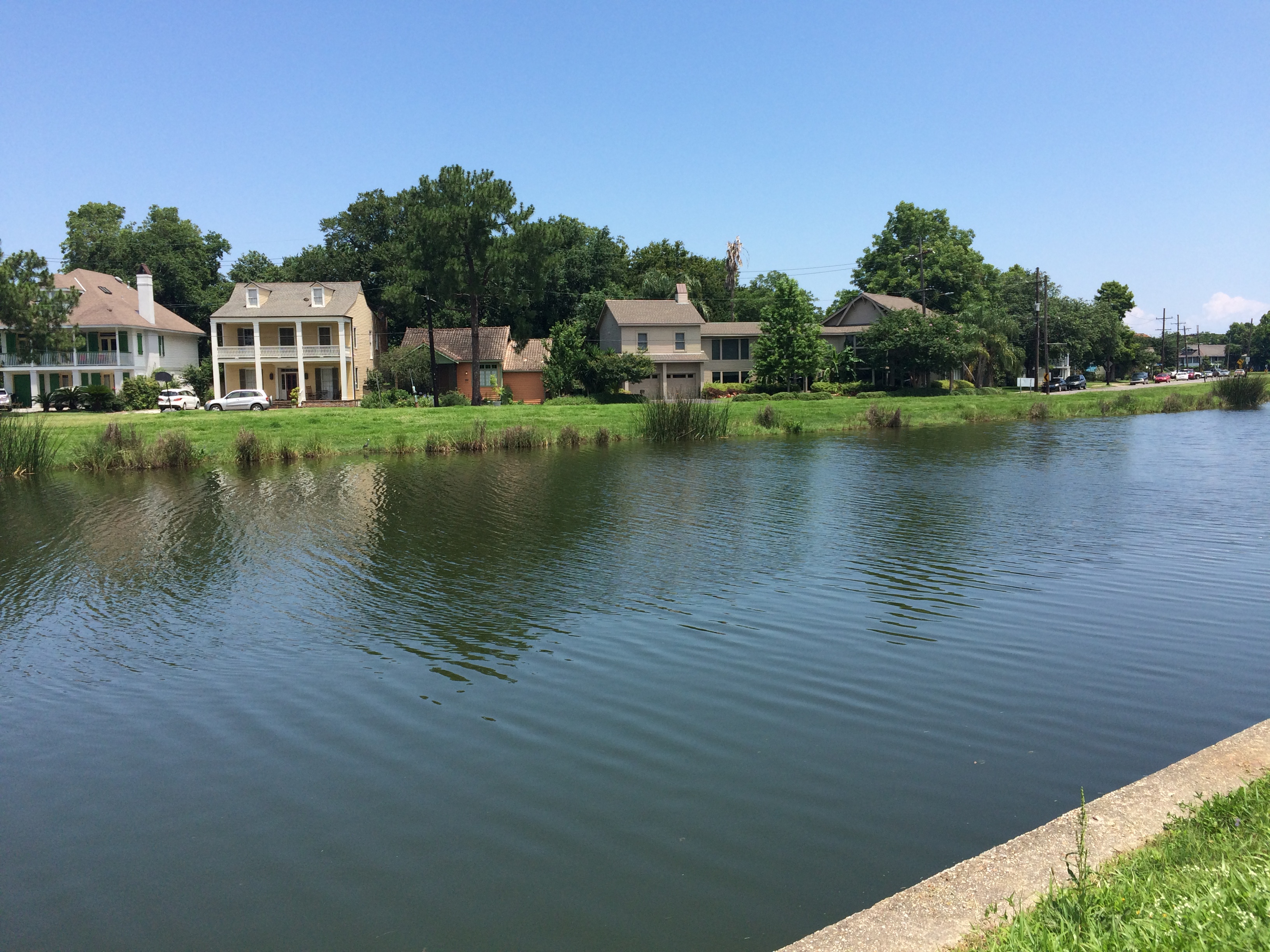
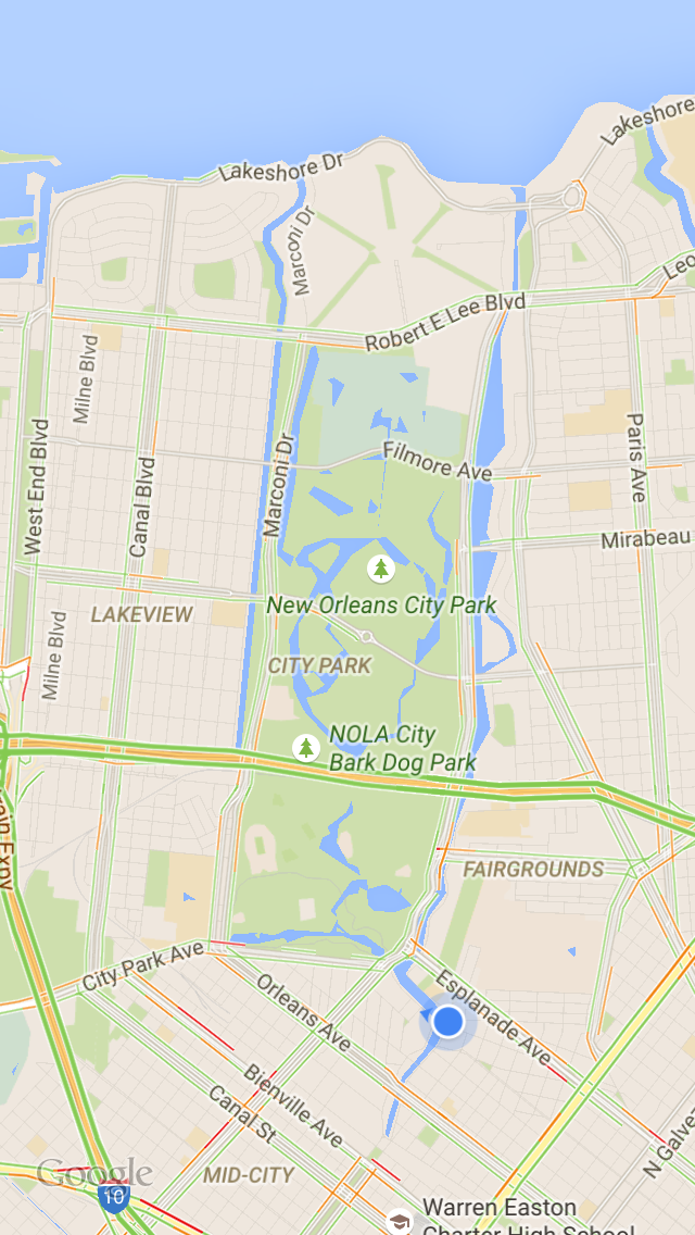
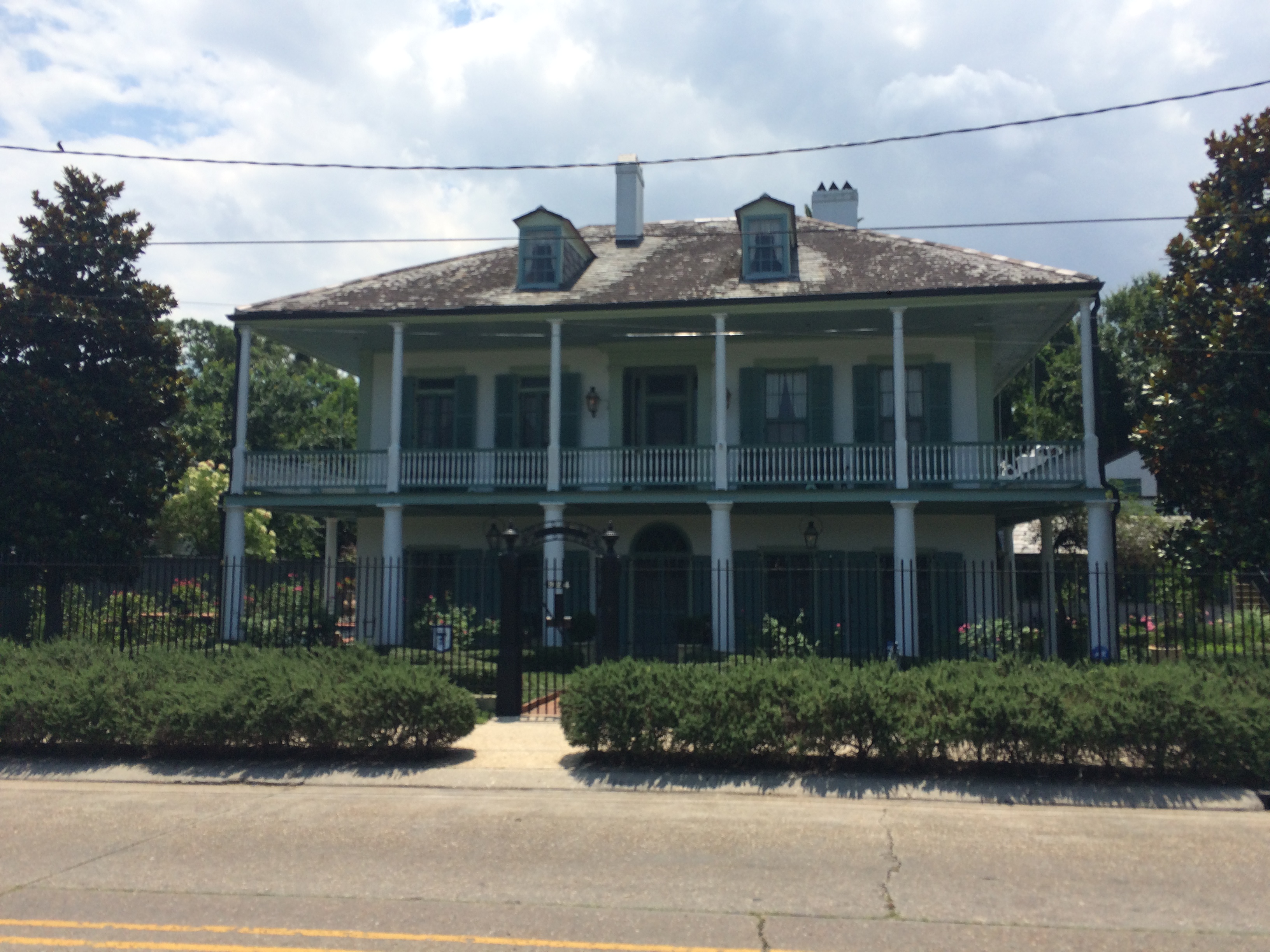
Over the weekend, my best-adventure-companion Lauren Gauthier and I took a bike ride from the bottom of the bayou to the top. That is, from Jefferson Davis Parkway to Lake Pontchartrain, the brackish estuary that serves as the bayou’s water source (and that is also home to, supposedly, the longest, continuous bridge in the world). We biked along the bayou’s crooked southern section—arguably the most historic, since most of the original planters in the Bayou St. John area made their homes there, beginning in 1708, and since much of the Faubourg St. John’s most historic homes can be found along Moss Street, the charming street split down the middle by the bayou itself.
(Planters wanted land near the southern end of the bayou because it’s the most suitable for agriculture. It’s the most suitable for agriculture a) because it’s above sea level and b) because it was chock-full of nutrient-rich Mississippi River sediment. It’s both of those things because the ridges around the bayou’s southern half—Gentilly and Metairie Ridges—were former natural levees of a former distributary of the Mississippi River, formed by the river overtopping its banks and dumping its sediment in the process.But I digress!)
We then cut through City Park…
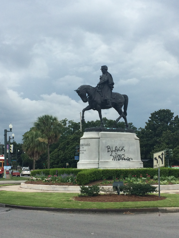
The statue of Confederate General P.G.T. Beauregard, one of several Confederate monuments the city is considering removing, at the entrance to City Park.
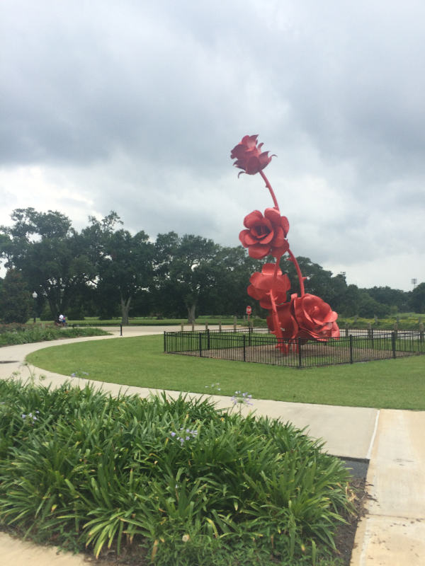
Will Ryman’s rose blossom sculpture, set up in City Park as part of Prospect 3.
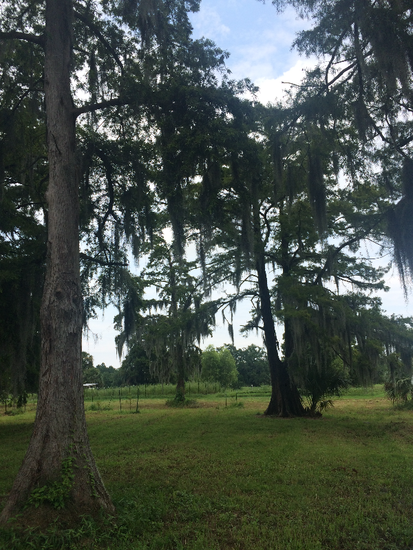
Cypress trees: north of Gentilly and Metairie Ridges, the land around the bayou toward the lake was primarily swampland and cypress forest before the city drained it in the early 20th century.
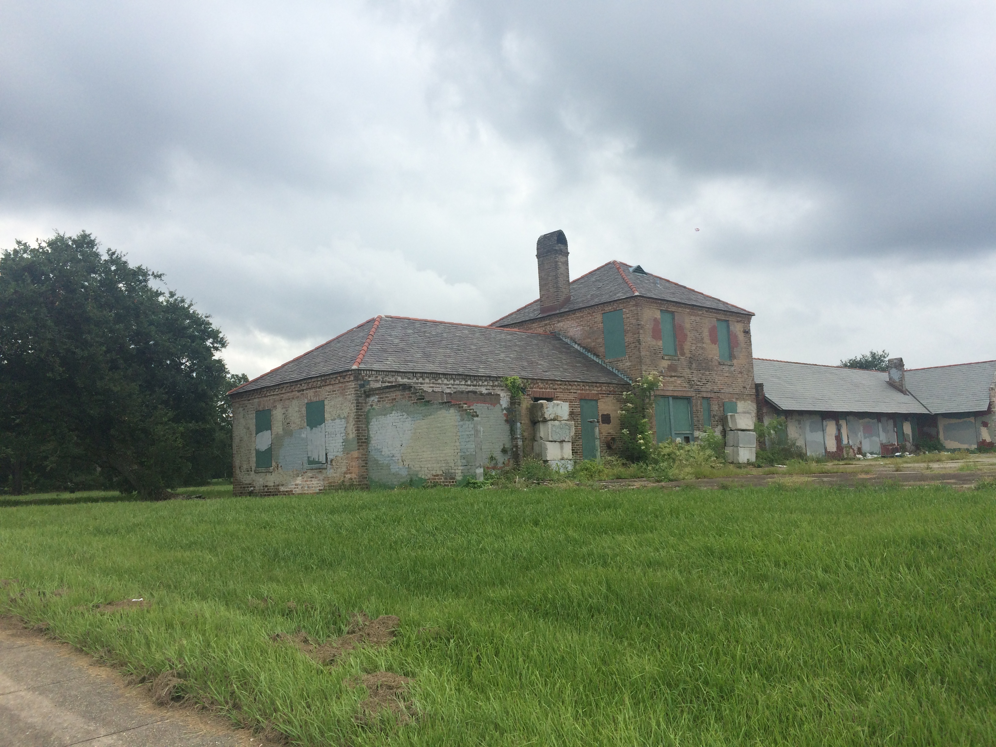
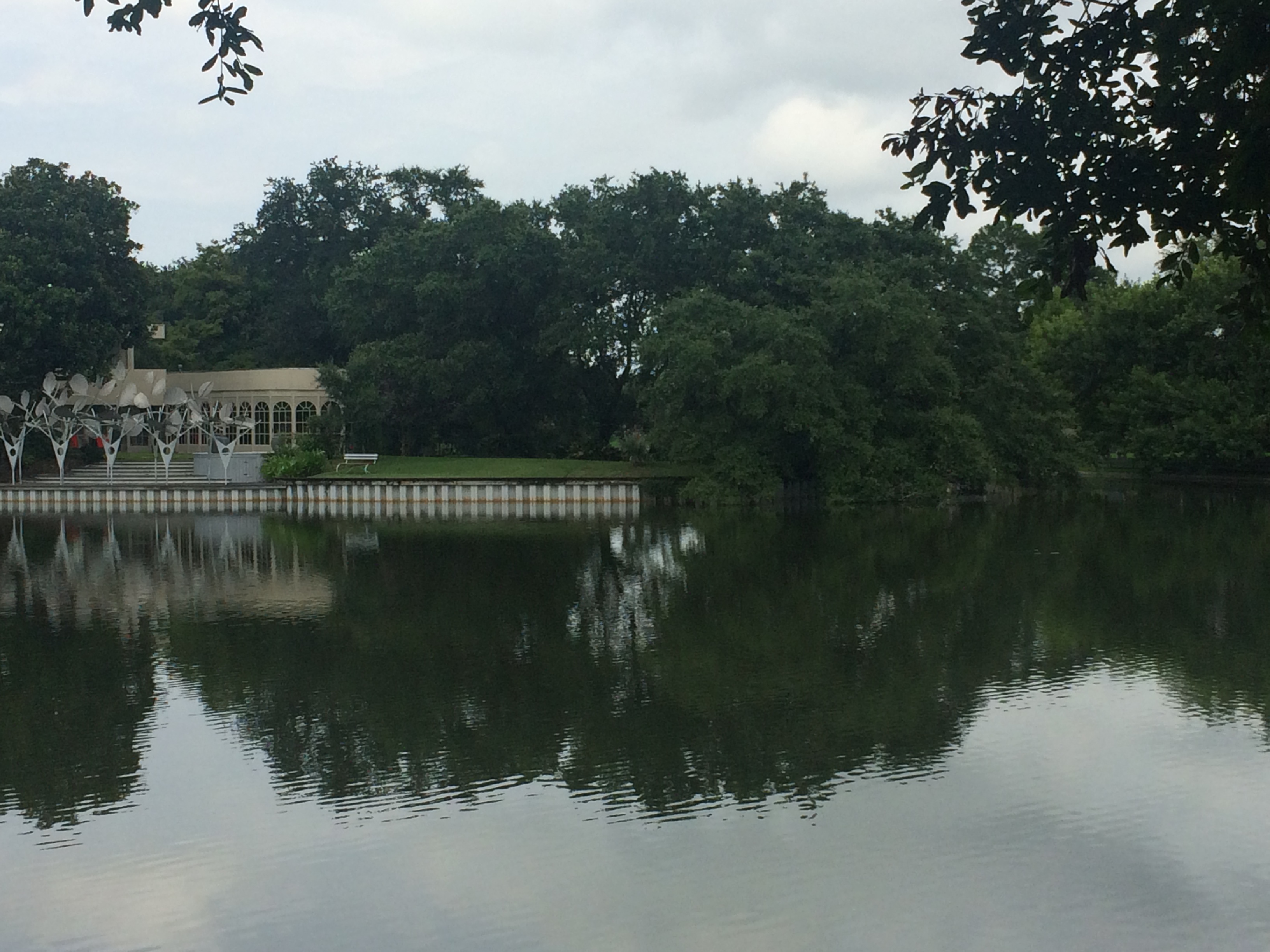
Beautiful old building in City Park. Does anyone know what this is/was?
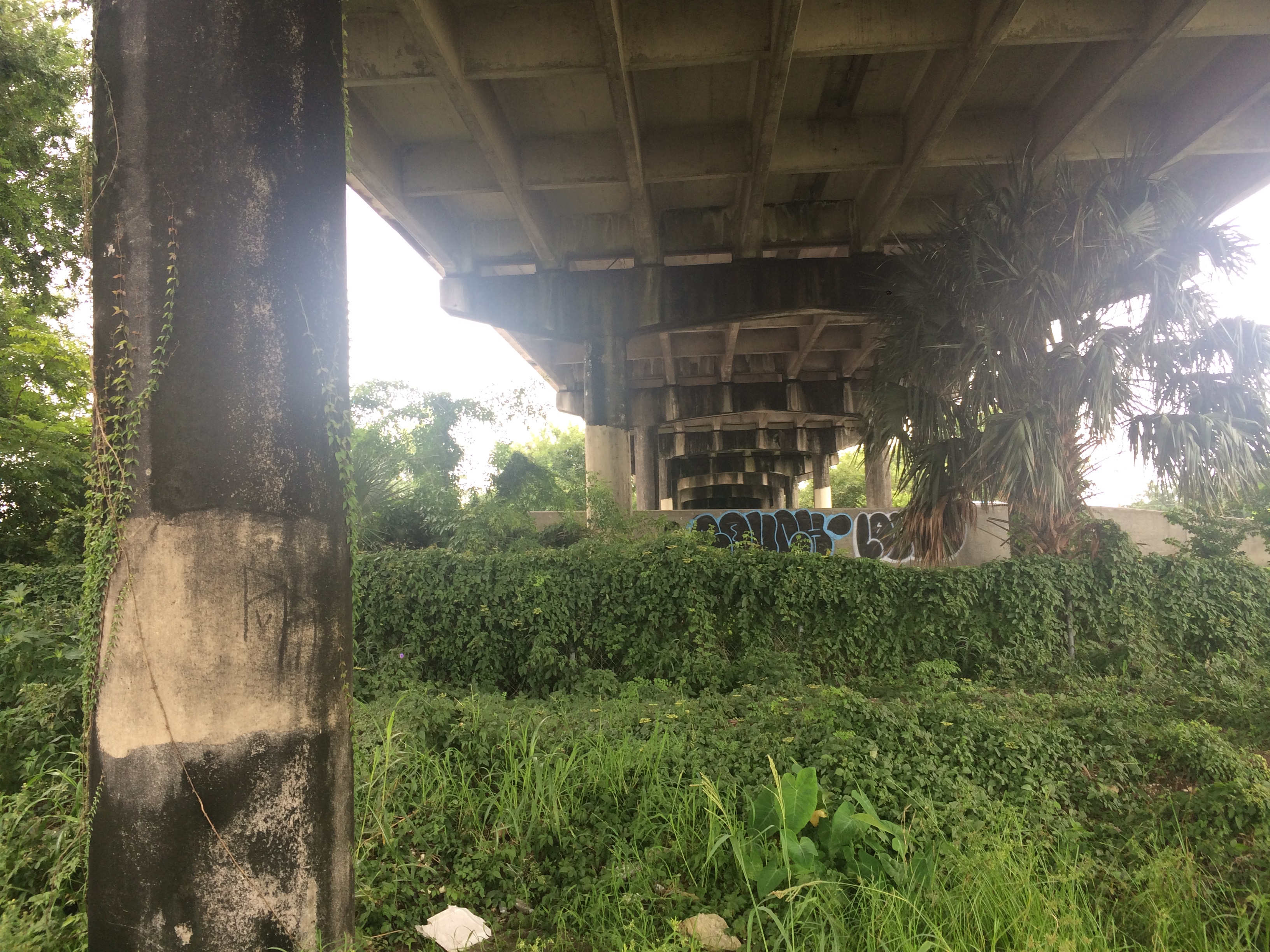
View from beneath the Wisner overpass, leaving City Park…
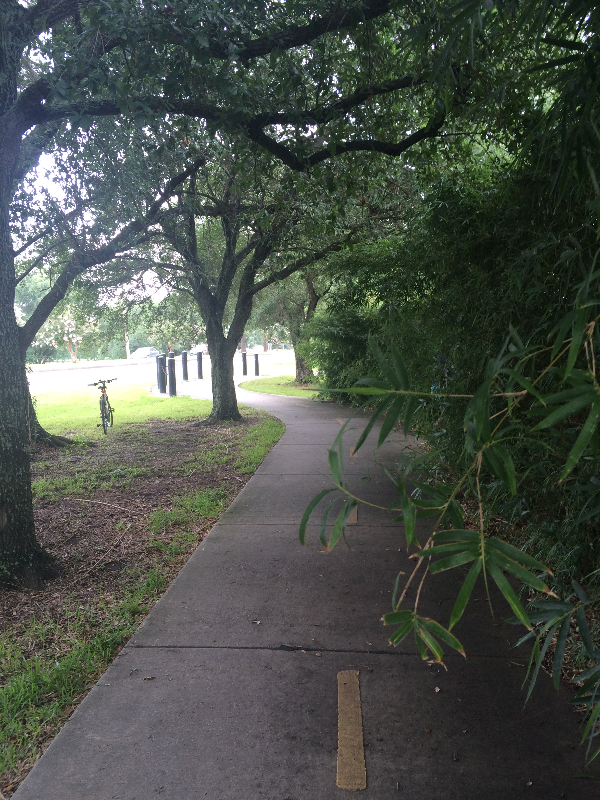
and cut back toward the bayou bike path…
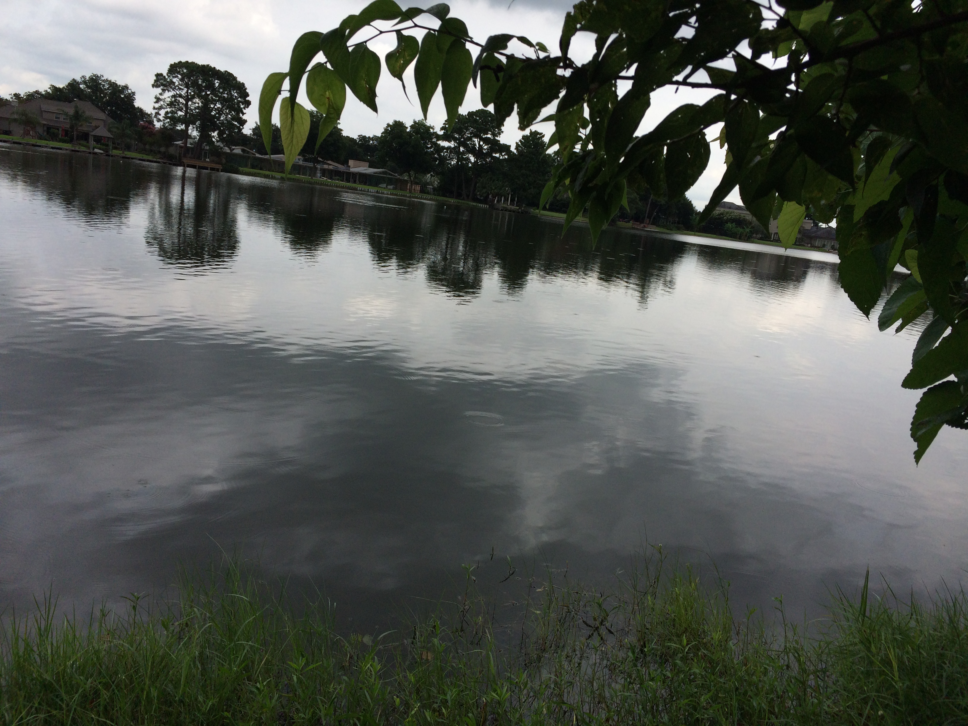
Imagining I am a Houma Indian or a French explorer from the 17th century, scanning the bayou from the underbrush…ignore those buildings on the far bank.
It’s hard to make out, but the right edge of that property marks the southern tip of Park Island, created because the bayou made a sharp curve here back in the day, and, because of the stream feeding it at this point and filling it up with silt and sand, folks decided it was too difficult to navigate and so dredged an additional straight path for the bayou to travel. Now it “flows” (a bayou doesn’t really “flow”) around the piece of land created when they sliced it straight.

Bayou natives on a Sunday stroll.
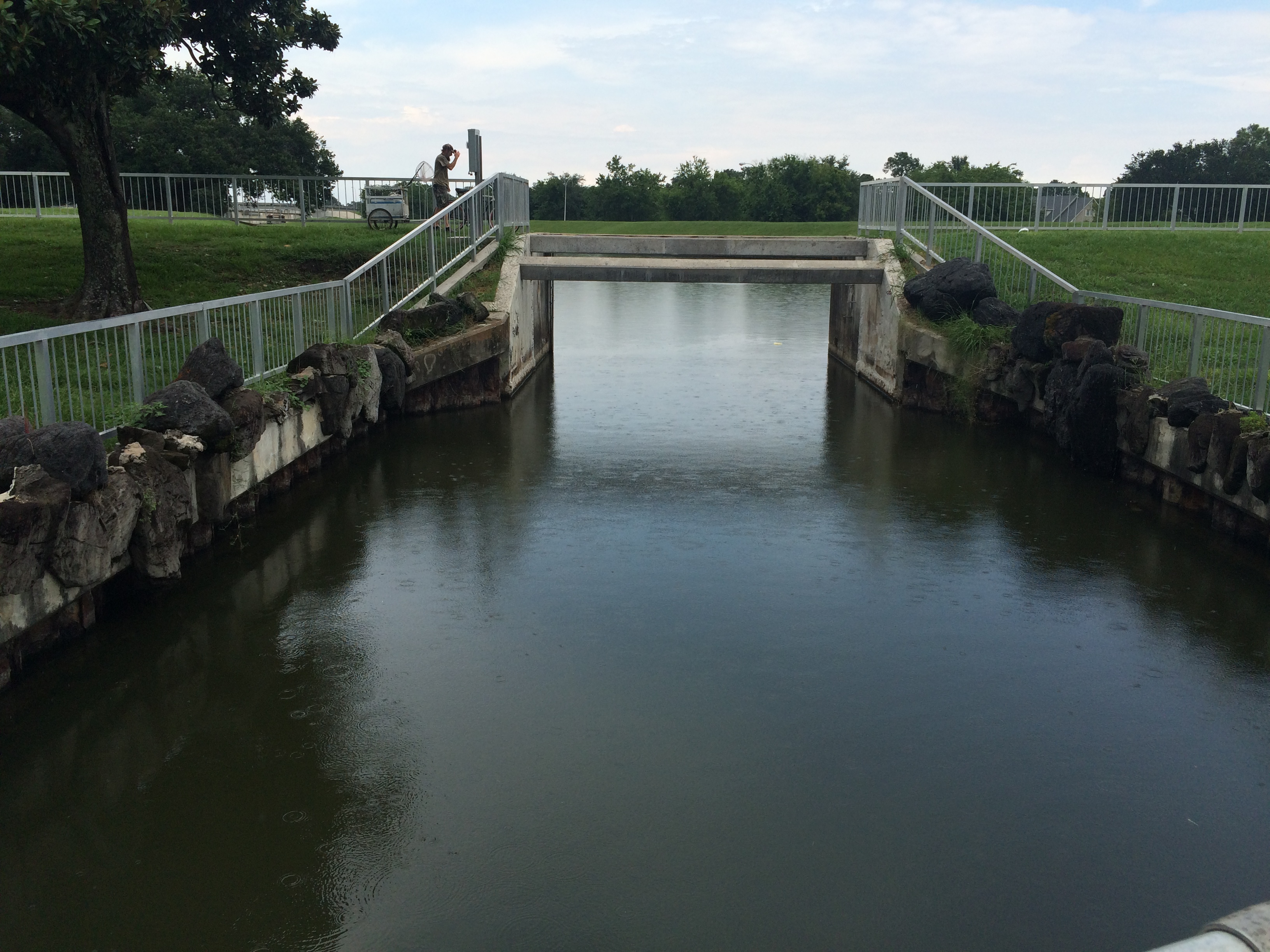
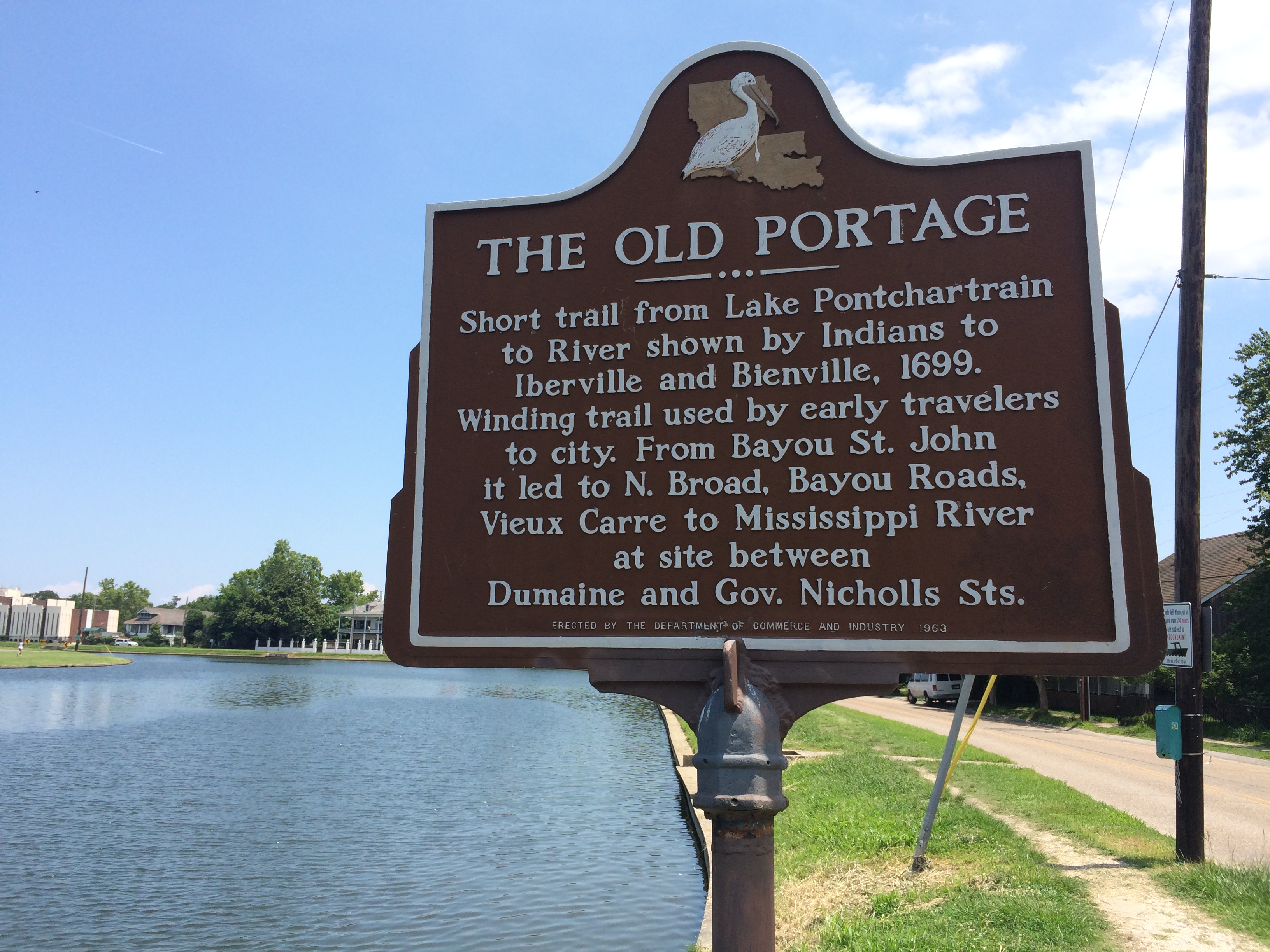
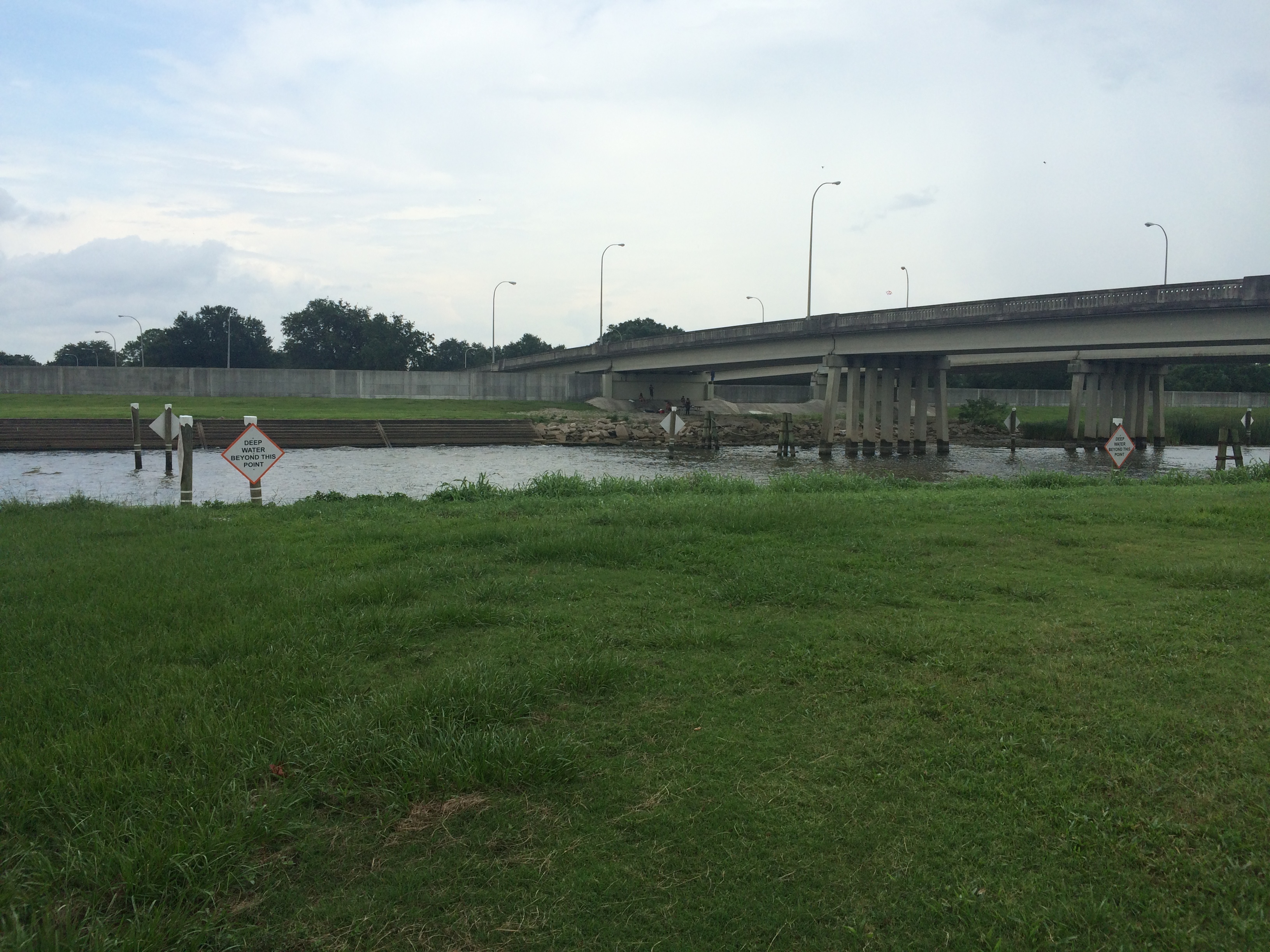
The lock at Robert E. Lee Boulevard, referred to as the “old flood control structure,” built in 1962. Slated to be removed when the newer flood control structure was built closer to Lake Pontchartrain in 1992, but because of lack of funding was never removed.
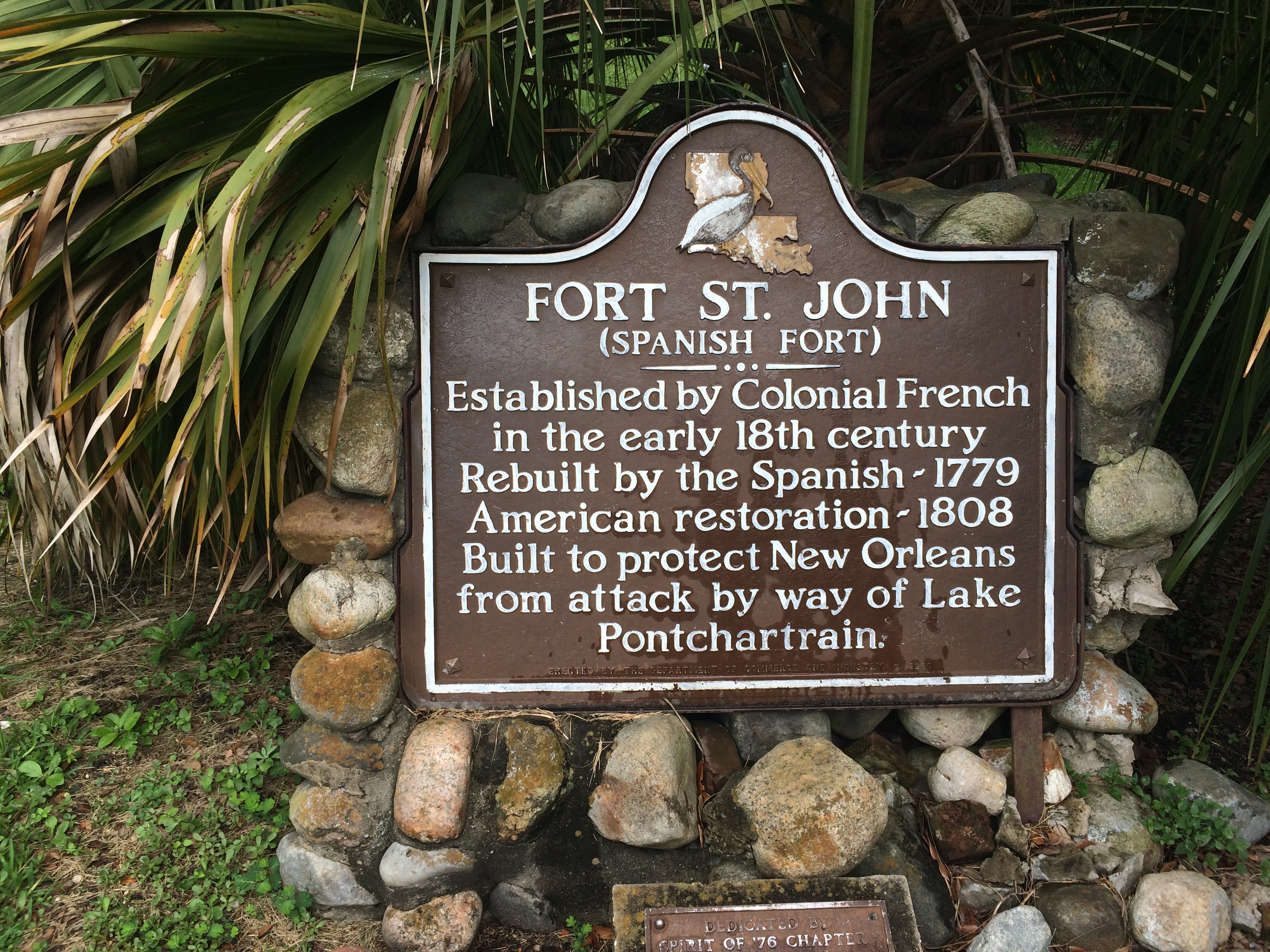
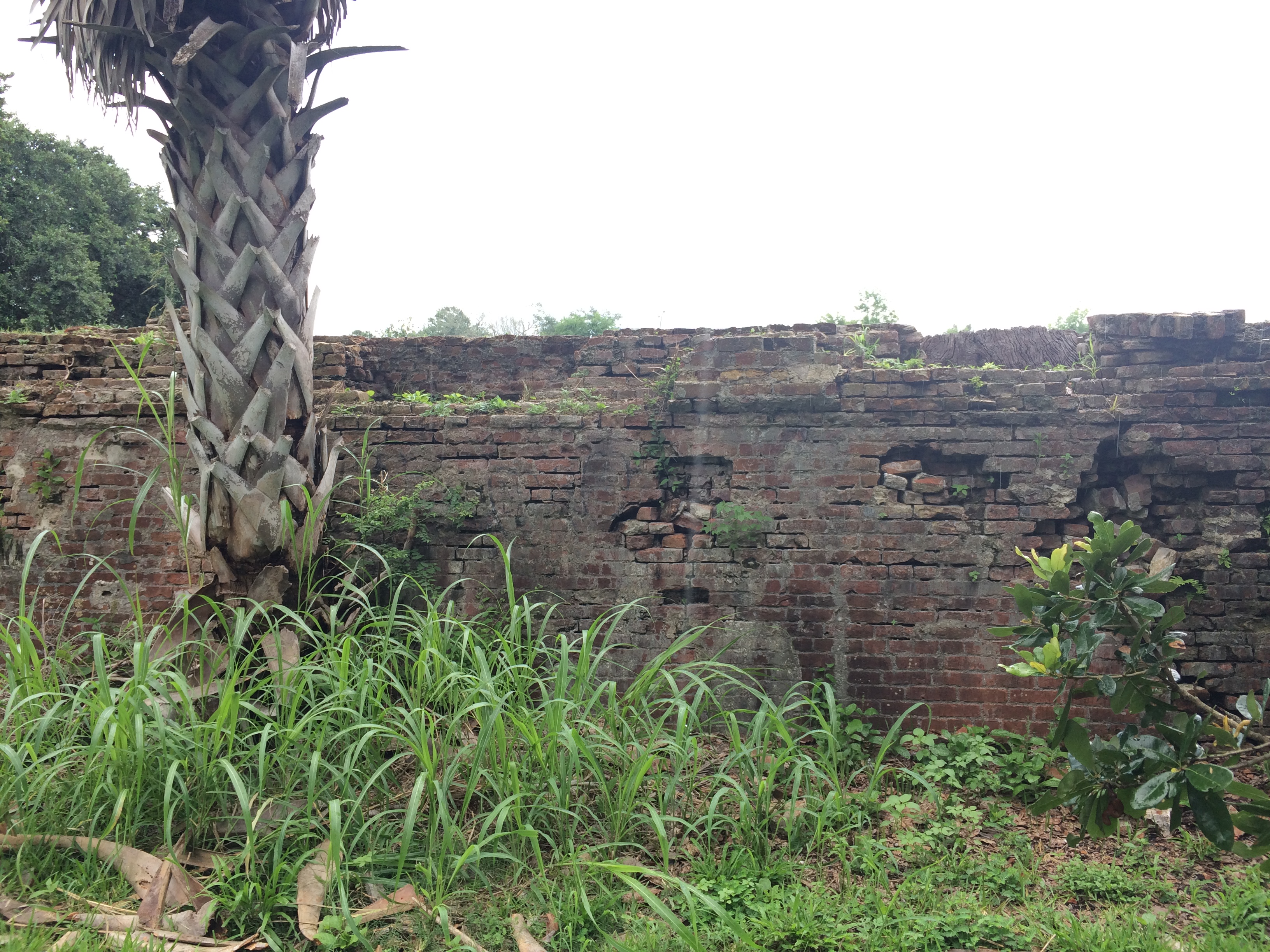
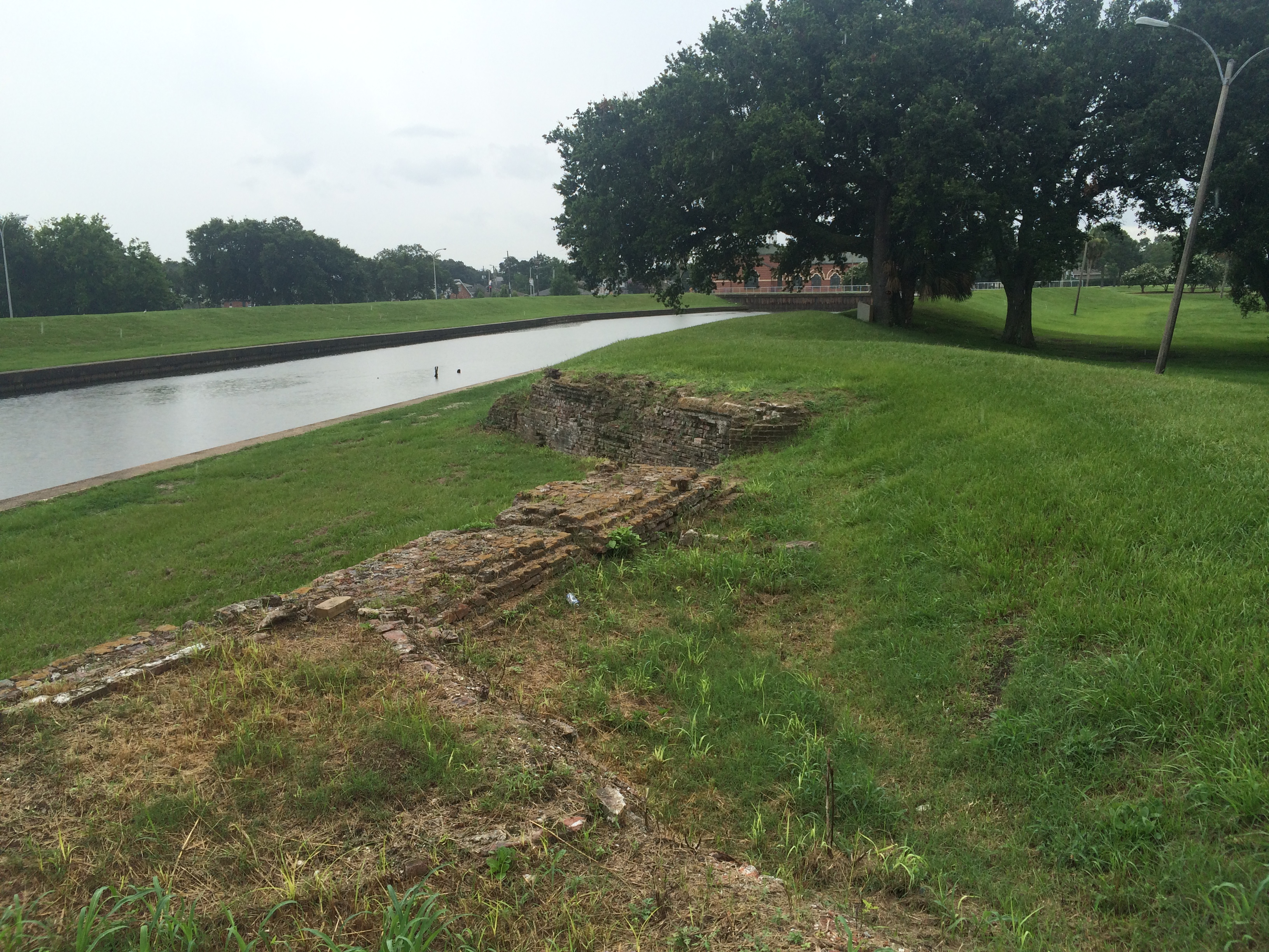
Above Robert E. Lee, on the west bank of the bayou, we find the colloquially-named “Spanish Fort,” built to protect the city of New Orleans from invaders from the north. Because of the bayou’s important position as part of the “lake route,” which many ships would take instead of fighting their way up the mouth of the Mississippi River, it was important to keep the mouth of the bayou extra fortified. See pictures below.
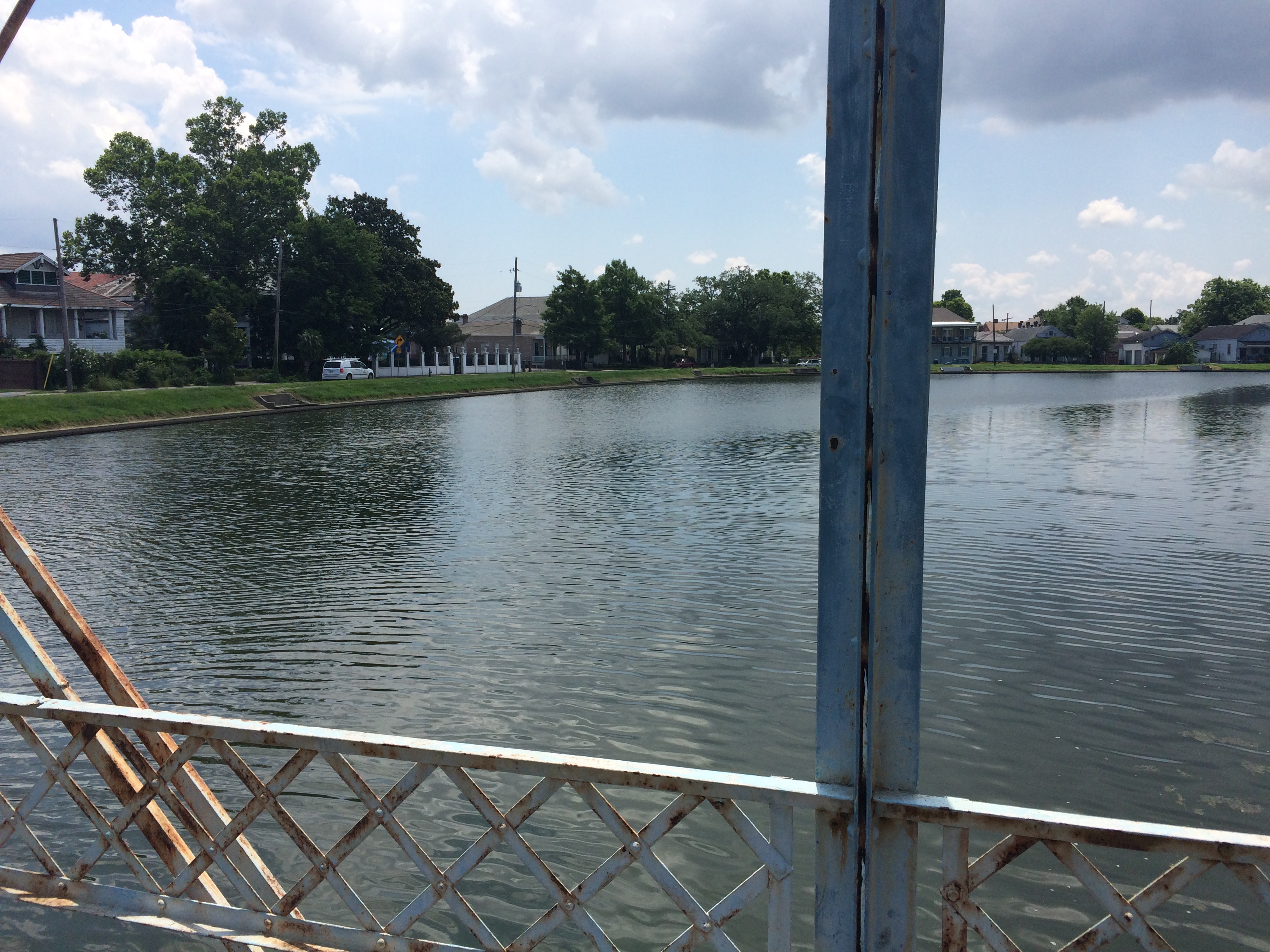
See the bayou “flowing” languidly by….
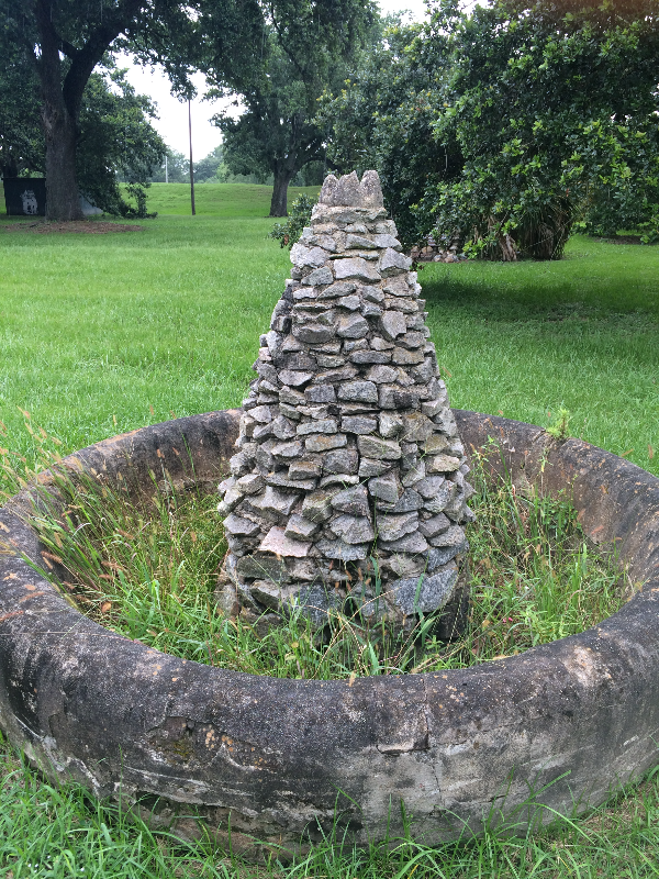
Also, does anyone know what this…
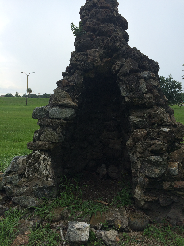
Or this is?? Located near the Spanish Fort. What am I looking at?
 <
<
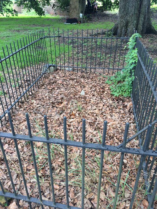
Knock knock! Who’s in this grave?? Also near the Spanish Fort. I’ve heard a folktale about this…something about a Spanish soldier, an Indian princess, and an angry Indian Chief. Somehow I question this storyline…. Anybody got any info?
And finally we reached the lake!
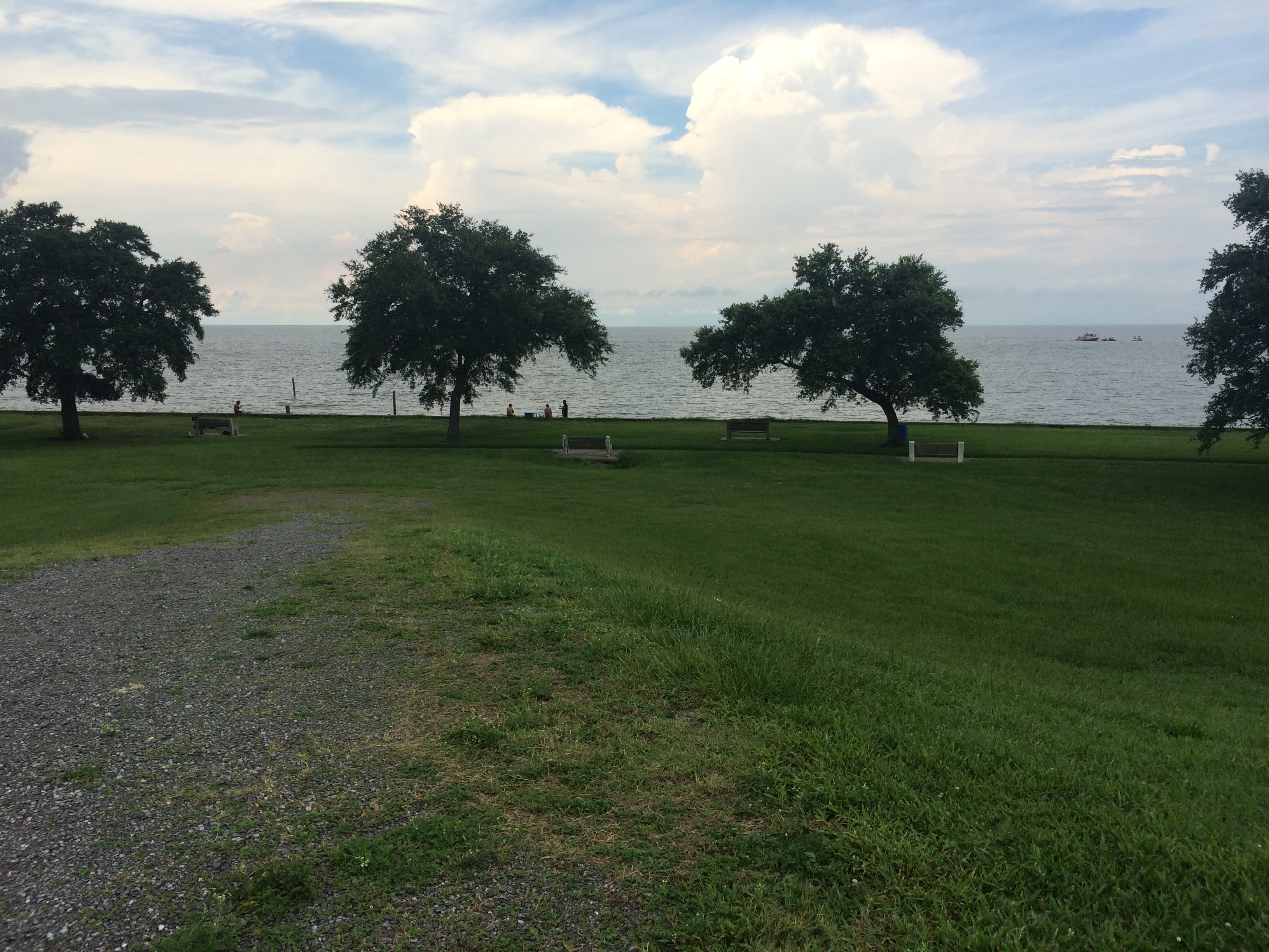
Where the bayou meets the lake. Once a major destination for boating and swimming…
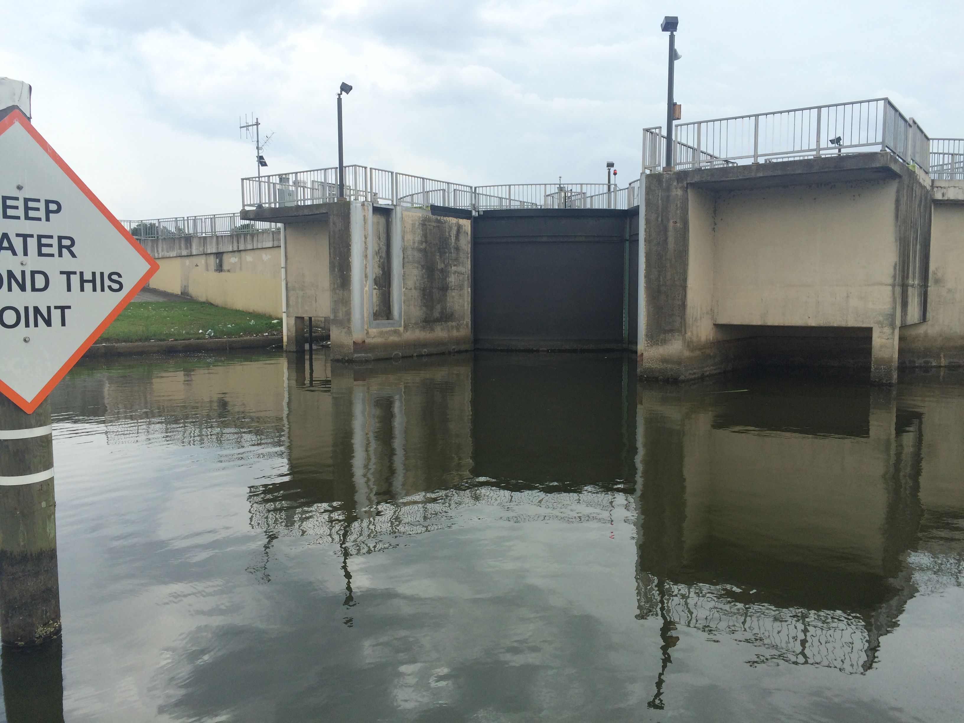
…until this puppy was built in the 1990s for flood-control purposes. Post-Katrina, there has been much debate between the New Orleans Levee Board, in charge of flood-control, and scientists and residents regarding whether or not the bayou should be opened back up to the lake, except in times of potential flooding. Doing so would improve water quality, encourage swimming critters of all kinds to come back, and would enhance recreational use of the bayou. As of 2014, there was talk of opening this lock more often. I don’t see much recent news on the subject. Does anyone know more about what’s currently happening here?
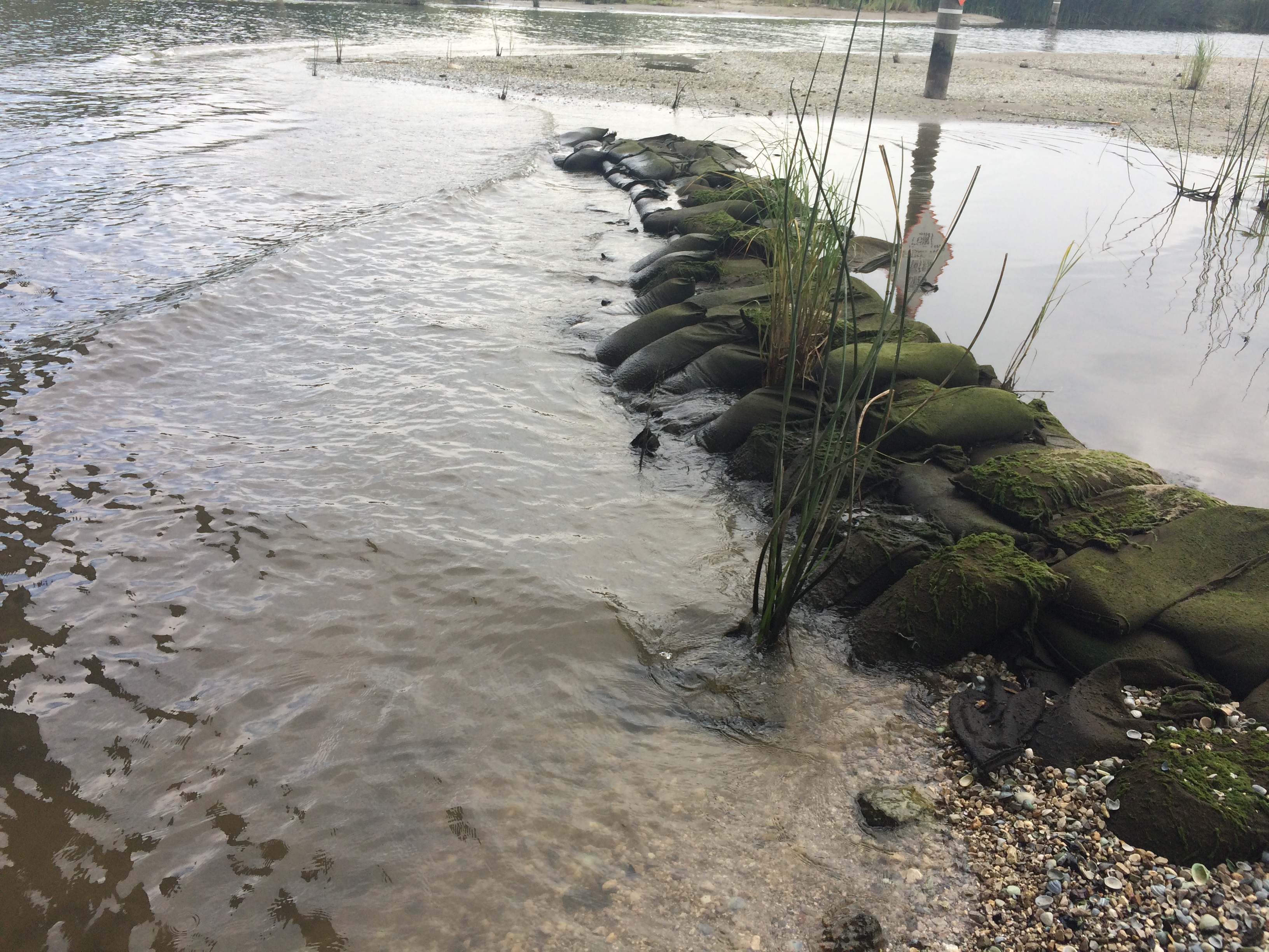
Naturally-occurring New Orleans rocks, i.e. sandbags.
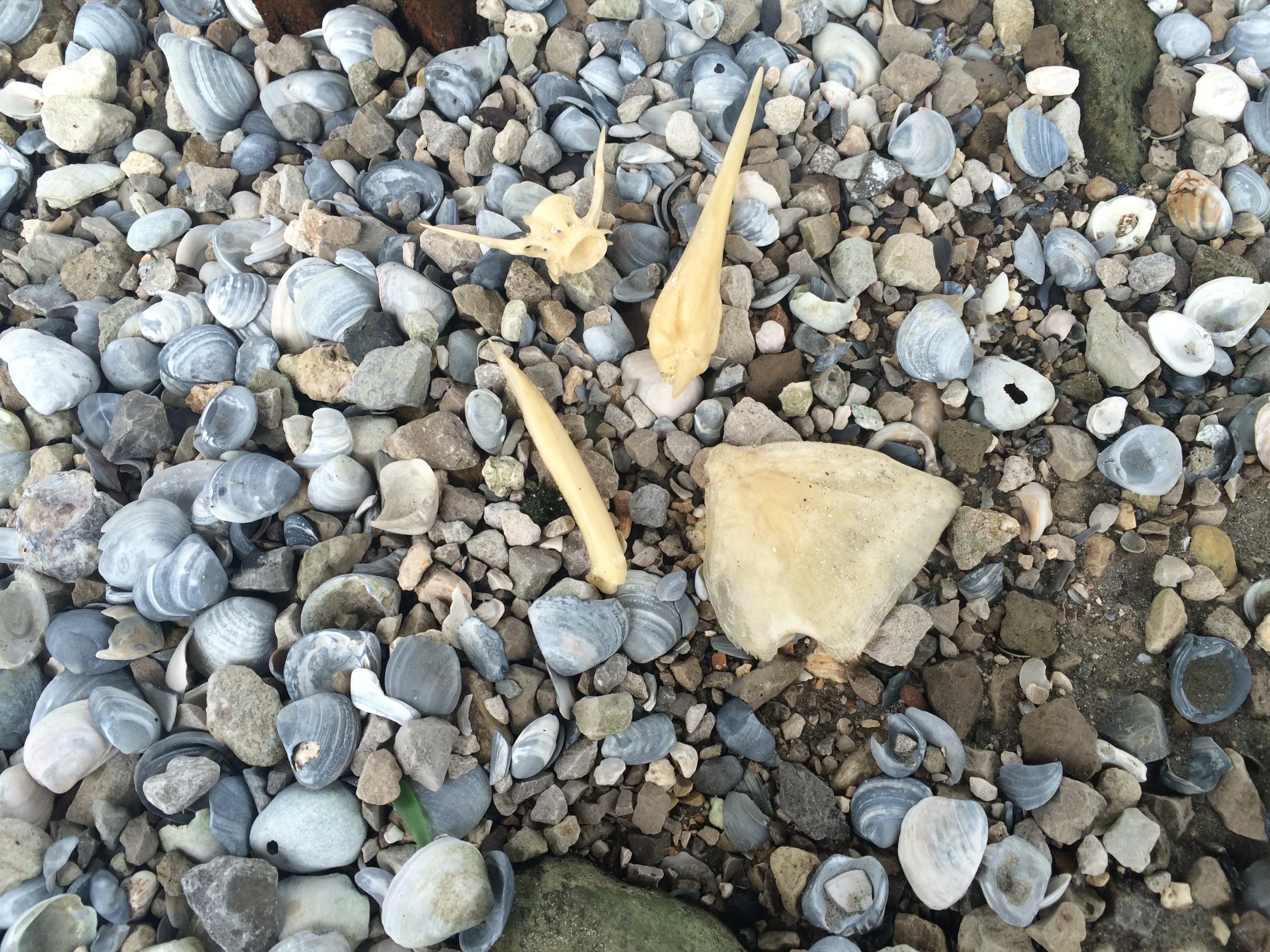
Critter bones.
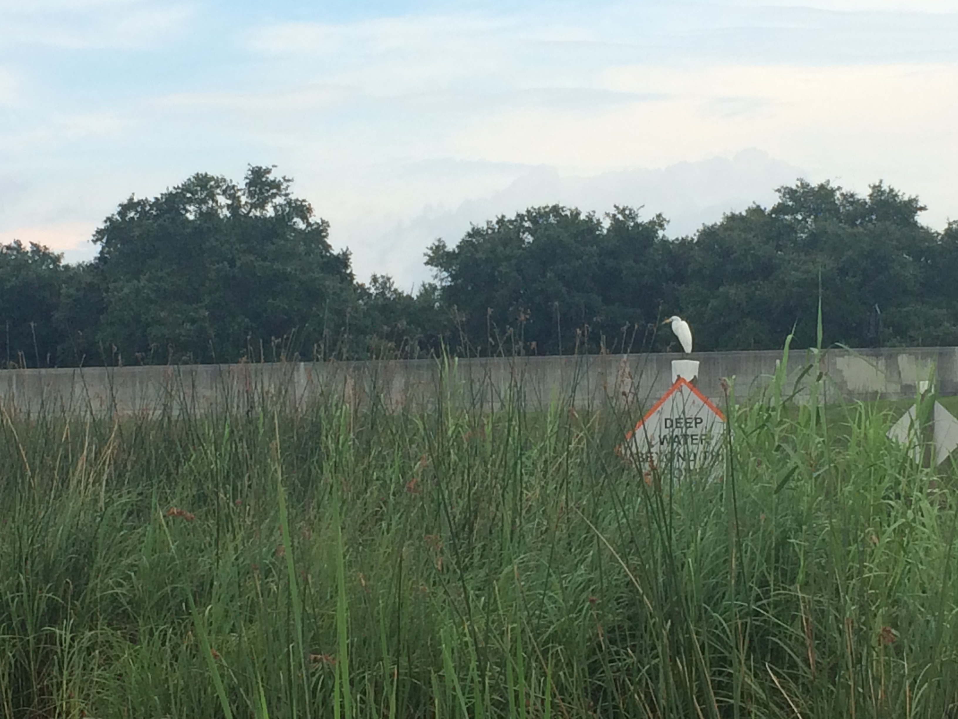
Last but not least, the feathered guardian of this liminal space between locked-up bayou and Lake Pontchartrain.